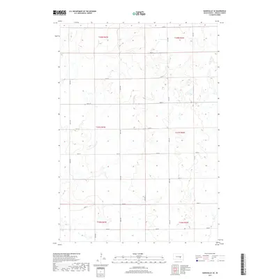
2017 Map of Gannvalley SE
USGS Topo · Published 2017About this map
Glacial topography and the rigid Public Land Survey System define this section of Jerauld County. The landscape is characterized by numerous small depressions and prairie potholes, reflecting the post-glacial drainage patterns common to this part of the Dakotas. The intersection of local section-line roads like 225th St and 366th Ave creates a geometric grid that overlays the undulating terrain.
Find a feature on this map
21 named features on this map. Tap any name to fly to it.
Don’t see what you’re looking for? This feature index may not catch every label — zoom into the map to look around manually.
Map Details
Editions of this 2017 Gannvalley SE Map
This is the sole edition of this map. No revisions or reprints were ever made.
Other maps of this area

1941 · Kimball North
USGS Topo · 1:62,500

1942 · Crow Lake
USGS Topo · 1:62,500

1951 · Kimball North
USGS Topo · 1:62,500

1953 · Huron
USGS Topo · 1:250,000

1954 · Huron
USGS Topo · 1:250,000

1955 · Mitchell
USGS Topo · 1:250,000

1959 · Mitchell
USGS Topo · 1:250,000

1973 · Gannvalley
USGS Topo · 1:24,000

1973 · Cottonwood Lake
USGS Topo · 1:24,000

1973 · Wessington Springs NW
USGS Topo · 1:24,000