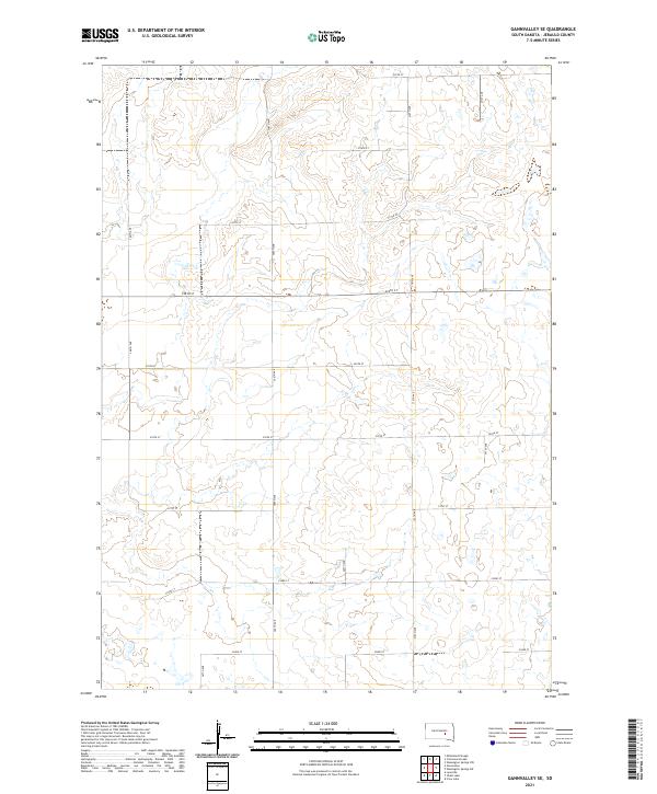
2021 Map of Gannvalley SE
USGS Topo · Published 2021About this map
Jerauld County's agricultural landscape is defined by a rigorous Section Line road grid, a hallmark of the Public Land Survey System that shaped the South Dakota prairie. This topography is characterized by subtle elevation changes and numerous depressions that suggest a glaciated terrain, typical of the James River Highlands region. The township boundaries, including t107n r67w and t107n r66w, organize the territory into a rhythmic pattern of sectioned fields and pastures. Transportation follows this geometry exactly, with local routes like 225th St and 371st Ave providing access to isolated farmsteads. The drainage patterns and small basins scattered throughout the sections, particularly along 230th St, reveal the natural hydrology of the area before modern land management, offering a clear view of the rural spatial organization in the early twenty-first century.
Find a feature on this map
21 named features on this map. Tap any name to fly to it.
Don’t see what you’re looking for? This feature index may not catch every label — zoom into the map to look around manually.
Map Details
Editions of this 2021 Gannvalley SE Map
This is the sole edition of this map. No revisions or reprints were ever made.
Other maps of this area

1941 · Kimball North
USGS Topo · 1:62,500

1942 · Crow Lake
USGS Topo · 1:62,500

1951 · Kimball North
USGS Topo · 1:62,500

1953 · Huron
USGS Topo · 1:250,000

1954 · Huron
USGS Topo · 1:250,000

1955 · Mitchell
USGS Topo · 1:250,000

1959 · Mitchell
USGS Topo · 1:250,000

1973 · Gannvalley
USGS Topo · 1:24,000

1973 · Cottonwood Lake
USGS Topo · 1:24,000

1973 · Wessington Springs NW
USGS Topo · 1:24,000
Featured Places
- Crow Lake Township, SD
- Logan Township, SD
- Harmony Township, SD
- Marlar Township, SD
- Pleasant Township, SD