
1935 Map of Gansevoort
USGS Topo · Published 1935About this map
Gansevoort serves as a central hub on this 1935 survey, situated where the Delaware and Hudson railroad tracks intersect the landscape east of the Palmertown Ridge. The area is characterized by a high concentration of localized agriculture and specialized infrastructure, including the Glen Alden Trout Hatchery and the Lake George Fish Hatchery. Higher elevations to the west are dominated by the Mt McGregor Sanatorium, while the surrounding lowlands are dotted with community markers like District Sch No 3 and Ballard Corners. The geography is defined by water, from the Hudson River at the northern boundary to the winding course of the Snook Kill. Numerous small crossroads and family-named locations such as Travers Corners and Barnes Corners suggest a dense network of rural homesteads during the mid-1930s.
Find a feature on this map
42 named features on this map. Tap any name to fly to it.
Don’t see what you’re looking for? This feature index may not catch every label — zoom into the map to look around manually.
Map Details
Editions of this 1935 Gansevoort Map
This is the sole edition of this map. No revisions or reprints were ever made.
Other maps of this area

1895 · Glens Falls
USGS Topo · 1:62,500

1897 · Glens Falls
USGS Topo · 1:62,500

1900 · Schuylerville
USGS Topo · 1:62,500

1902 · Saratoga
USGS Topo · 1:62,500

1903 · Luzerne
USGS Topo · 1:62,500
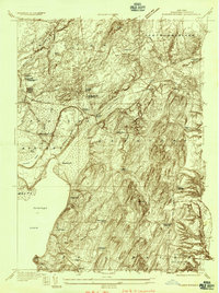
1934 · Quaker Springs
USGS Topo · 1:24,000

1934 · Saratoga Springs
USGS Topo · 1:24,000
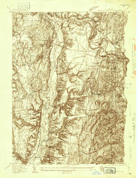
1935 · Schuylerville
USGS Topo · 1:24,000
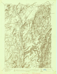
1935 · Fort Miller
USGS Topo · 1:24,000

1935 · Corinth
USGS Topo · 1:24,000