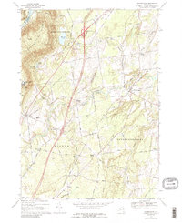
1968 Map of Gansevoort
USGS Topo · Published 1989About this map
The Palmerton Range and Hudson River define the northwestern corner of this 1968 landscape, where Saratoga County transitions from forested slopes to agricultural plains. Public health and recreation are prominent markers of the era, seen in the expansive Mount McGregor State Hospital complex and the development of Moreau Lake State Park. Local transportation is in a state of modernization as the newly constructed Interchange 16 and Interchange 17 connect the region to broader commerce, while the older Delaware and Hudson railroad tracks still follow the valley floor. Small hamlets like Gansevoort and Wilton remain centers of community life, supported by neighborhood institutions such as the Ballard Sch and numerous family-named junctions like Dimmick Corners and Travers Corners. The map also captures mid-century leisure and industry, from the Drive-in Theater near Fortsville to the various sand and gravel pits dotting the Snook Kill basin.
Find a feature on this map
74 named features on this map. Tap any name to fly to it.
Don’t see what you’re looking for? This feature index may not catch every label — zoom into the map to look around manually.
Map Details
Editions of this 1968 Gansevoort Map
Other maps of this area

1895 · Glens Falls
USGS Topo · 1:62,500

1897 · Glens Falls
USGS Topo · 1:62,500

1900 · Schuylerville
USGS Topo · 1:62,500

1902 · Saratoga
USGS Topo · 1:62,500

1903 · Luzerne
USGS Topo · 1:62,500
1934 · Quaker Springs
USGS Topo · 1:24,000

1934 · Saratoga Springs
USGS Topo · 1:24,000

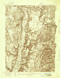
1935 · Gansevoort
USGS Topo · 1:24,000
1935 · Schuylerville
USGS Topo · 1:24,000
1935 · Fort Miller
USGS Topo · 1:24,000