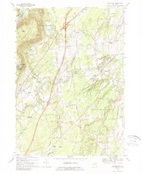
1968 Map of Gansevoort
USGS Topo · Published 1968About this map
Mount McGregor State Hospital overlooks the eastern edge of the Palmertown Range, anchoring a landscape where the upland peaks of Grant Mtn transition into the farming valleys of Wilton and Northumberland. This late-1960s survey documents the post-war modernization of Saratoga County, dominated by the sweeping curve of Interstate 87 and its connections at Interchange 17.
Find a feature on this map
45 named features on this map. Tap any name to fly to it.
Don’t see what you’re looking for? This feature index may not catch every label — zoom into the map to look around manually.
Map Details
Editions of this 1968 Gansevoort Map
Other maps of this area

1895 · Glens Falls
USGS Topo · 1:62,500

1897 · Glens Falls
USGS Topo · 1:62,500

1900 · Schuylerville
USGS Topo · 1:62,500

1902 · Saratoga
USGS Topo · 1:62,500

1903 · Luzerne
USGS Topo · 1:62,500
1934 · Quaker Springs
USGS Topo · 1:24,000

1934 · Saratoga Springs
USGS Topo · 1:24,000

1935 · Gansevoort
USGS Topo · 1:24,000
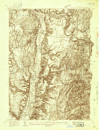
1935 · Schuylerville
USGS Topo · 1:24,000
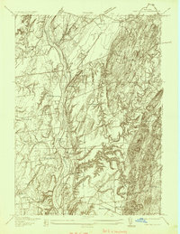
1935 · Fort Miller
USGS Topo · 1:24,000