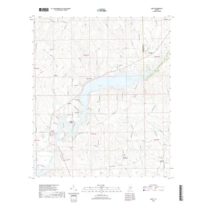
2018 Map of Gantt
USGS Topo · Published 2018About this map
Gantt Lake serves as the central geographic feature of this southern Alabama landscape, formed by the damming of the Conecuh River. The surrounding terrain is defined by a network of rural settlements and family-named points including Rawls, Searight, and Dozier. Local genealogy is well-preserved through several small burial grounds such as Able Cem, Gantt Cem, and Shiloh Cem, which anchor the communities of Straughn and Antioch.
Find a feature on this map
114 named features on this map. Tap any name to fly to it.
Don’t see what you’re looking for? This feature index may not catch every label — zoom into the map to look around manually.
Map Details
Editions of this 2018 Gantt Map
This is the sole edition of this map. No revisions or reprints were ever made.
Other maps of this area

1953 · Andalusia
USGS Topo · 1:250,000

1957 · Andalusia
USGS Topo · 1:250,000

1971 · Dozier
USGS Topo · 1:24,000

1971 · Industry
USGS Topo · 1:24,000

1971 · Brantley
USGS Topo · 1:24,000

1971 · River Falls
USGS Topo · 1:24,000

1971 · Andalusia
USGS Topo · 1:24,000

1971 · Gantt
USGS Topo · 1:24,000

1971 · Leon
USGS Topo · 1:24,000

1971 · Red Level
USGS Topo · 1:24,000