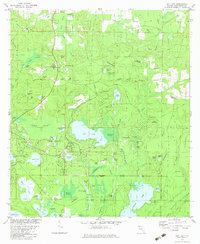
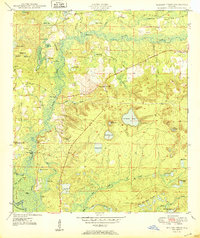
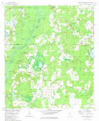
1982 Map of Gap Lake
USGS Topo · Published 1983This historical map portrays the area of Gap Lake in 1982, primarily covering Washington County. Featuring a scale of 1:24000, this map provides a highly detailed snapshot of the terrain, roads, buildings, counties, and historical landmarks in the Gap Lake region at the time. Published in 1983, it is the sole known edition of this map.
Find a feature on this map
93 named features on this map. Tap any name to fly to it.
Don’t see what you’re looking for? This feature index may not catch every label — zoom into the map to look around manually.
Map Details
Editions of this 1982 Gap Lake Map
This is the sole edition of this map. No revisions or reprints were ever made.
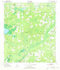
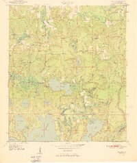
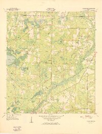
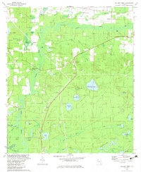
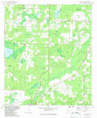
Historical Maps of Wausau Through Time
13 maps found

1949 Hinsons Cross Roads
Washington County, FL
1949 Millers Ferry
Washington County, FL
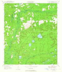
1950 Gap Lake
Washington County, FL
1950 Hinsons Cross Roads
Washington County, FL
1950 Millers Ferry
Washington County, FL
1950 Poplar Head
Washington County, FL
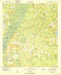
1951 Gap Pond
Washington County, FL
1951 Poplar Head
Washington County, FL
1982 Gap Lake
Washington County, FL
1982 Hinsons Crossroads
Washington County, FL
1982 Millers Ferry
Washington County, FL
1982 Poplar Head
Washington County, FL
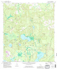
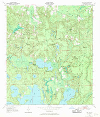
1994 Gap Lake
Washington County, FL