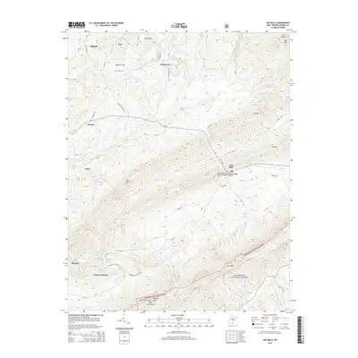
2014 Map of Gap Mills
USGS Topo · Published 2014About this map
Gap Mills and the surrounding Sweet Springs Valley are central to this 2014 survey of Monroe County. The landscape is defined by the high ridges of Peters Mtn and Gap Mtn, which frame a network of agricultural valleys and small unincorporated settlements. Genealogists can locate several named communities, including Crimson Springs, Hollywood, Keenan, and Hillsdale. The mapping reflects a region tied to its geography, where narrow roads like Dropping Lick-Zenith Rd wind between the springs and creeks that feed the watershed. Notable landmarks include the Gap Mills Cem and the Hanging Rock Lookout Tower perched atop the mountain crest within the Jefferson National Forest. The presence of the Gap Mills Ruritan Memorial Bridge and several named springs, such as Turkey Creek Springs, highlights the importance of water resources and community infrastructure in this rural West Virginia corridor.
Find a feature on this map
66 named features on this map. Tap any name to fly to it.
Don’t see what you’re looking for? This feature index may not catch every label — zoom into the map to look around manually.
Map Details
Editions of this 2014 Gap Mills Map
This is the sole edition of this map. No revisions or reprints were ever made.
Other maps of this area

1887 · Hinton
USGS Topo · 1:125,000

1887 · Lewisburg
USGS Topo · 1:125,000

1890 · Dublin
USGS Topo · 1:125,000

1890 · Christiansburg
USGS Topo · 1:125,000

1891 · Lewisburg
USGS Topo · 1:125,000

1891 · Dublin
USGS Topo · 1:125,000

1892 · Hinton
USGS Topo · 1:125,000

1921 · Alderson
USGS Topo · 1:48,000

1921 · Ronceverte
USGS Topo · 1:48,000

1923 · Ronceverte
USGS Topo · 1:62,500