
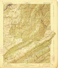
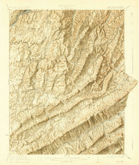
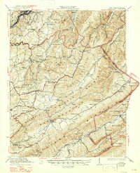
1923 Map of Ronceverte
USGS Topo · Published 1923About this map
The Greenbrier River cuts through the northwest corner of this 1920s landscape, where the town of Ronceverte serves as a gateway to the complex ridges of the Allegheny Mountains. The survey reveals a rural society built on a network of small schoolhouses and country churches, such as Bruffey Church and Highland Green School. Travel in the era followed the contours of the land, with the Chesapeake and Ohio and Norfolk and Western railroads skirting the mountain bases.
Find a feature on this map
113 named features on this map. Tap any name to fly to it.
Don’t see what you’re looking for? This feature index may not catch every label — zoom into the map to look around manually.
Map Details
Editions of this 1923 Ronceverte Map
4 editions found
Other maps of this area

1887 · Hinton
USGS Topo · 1:125,000

1887 · Lewisburg
USGS Topo · 1:125,000

1890 · Dublin
USGS Topo · 1:125,000

1890 · Christiansburg
USGS Topo · 1:125,000

1891 · Lewisburg
USGS Topo · 1:125,000

1891 · Dublin
USGS Topo · 1:125,000

1892 · Hinton
USGS Topo · 1:125,000

1921 · Callaghan
USGS Topo · 1:48,000

1921 · Alderson
USGS Topo · 1:48,000

1921 · White Sulphur Springs
USGS Topo · 1:48,000