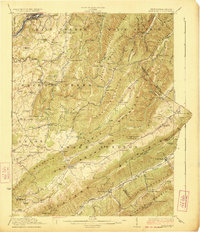
1923 Map of Ronceverte
USGS Topo · Published 1923About this map
Ronceverte serves as a hub of activity along the Greenbrier River, where the Chesapeake and Ohio railroad corridor links the river valley to the surrounding mountain ridges. This 1923 survey documents a landscape defined by its limestone geology, notably featuring the Organ Cave and a dense network of mountain gaps. The borderlands of Greenbrier and Monroe counties are marked by a high concentration of community centers, including Sweet Springs and Gap Mills, alongside numerous one-room schools like Centennial School and Horseshoe Bend School.
Find a feature on this map
113 named features on this map. Tap any name to fly to it.
Don’t see what you’re looking for? This feature index may not catch every label — zoom into the map to look around manually.
Map Details
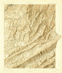
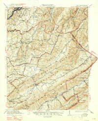
Editions of this 1923 Ronceverte Map
4 editions found

Other maps of this area

1887 · Hinton
USGS Topo · 1:125,000

1887 · Lewisburg
USGS Topo · 1:125,000

1890 · Dublin
USGS Topo · 1:125,000

1890 · Christiansburg
USGS Topo · 1:125,000

1891 · Lewisburg
USGS Topo · 1:125,000

1891 · Dublin
USGS Topo · 1:125,000

1892 · Hinton
USGS Topo · 1:125,000

1921 · Callaghan
USGS Topo · 1:48,000

1921 · Alderson
USGS Topo · 1:48,000

1921 · White Sulphur Springs
USGS Topo · 1:48,000