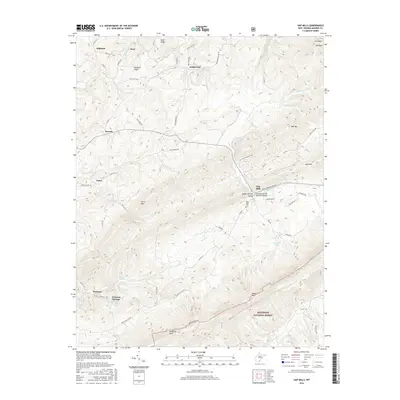
2016 Map of Gap Mills
USGS Topo · Published 2016About this map
Gap Mills serves as a central hub in this corner of Monroe County, situated where Second Cr and Kitchen Cr converge within the Sweet Springs Valley. The landscape is defined by the sharp rise of Peters Mtn to the southeast, part of the Jefferson National Forest, and the prominent Hanging Rock overlook. This area is characterized by its numerous natural water sources, including the distinct Gap Mills Spring and the Turkey Creek Springs near the settlement of Crimson Springs. Local heritage is anchored by sites like the Gap Mills Cem and the Gap Mills Ruritan Memorial Bridge. Smaller settlements such as Hillsdale, Dorr, and Hollywood are connected by a network of rural routes including Co RD 11 and Zenith RD Co RT 29, illustrating a persistent pattern of highland valley farming and forestry.
Find a feature on this map
74 named features on this map. Tap any name to fly to it.
Don’t see what you’re looking for? This feature index may not catch every label — zoom into the map to look around manually.
Map Details
Editions of this 2016 Gap Mills Map
This is the sole edition of this map. No revisions or reprints were ever made.
Other maps of this area

1887 · Hinton
USGS Topo · 1:125,000

1887 · Lewisburg
USGS Topo · 1:125,000

1890 · Dublin
USGS Topo · 1:125,000

1890 · Christiansburg
USGS Topo · 1:125,000

1891 · Lewisburg
USGS Topo · 1:125,000

1891 · Dublin
USGS Topo · 1:125,000

1892 · Hinton
USGS Topo · 1:125,000

1921 · Alderson
USGS Topo · 1:48,000

1921 · Ronceverte
USGS Topo · 1:48,000

1923 · Ronceverte
USGS Topo · 1:62,500