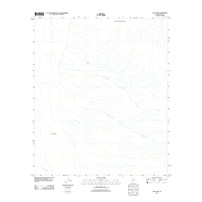
2011 Map of Gap Tank
USGS Topo · Published 2011About this map
Aguirre Valley dominates this arid landscape in the Schuk Toak District of Pima County, serving as a broad drainage basin for the surrounding highlands. The desert floor is defined by a complex network of ephemeral waterways, most notably the braided courses of El Tiro Wash, Mammoth Wash, and Aguirre Wash, which illustrate the natural hydrological patterns of the Sonoran region. In the northern reaches, the West Silver Bell Mountains provide significant relief against the alluvial plains. This 2011 survey by the U.S. Geological Survey documents a largely undeveloped landscape where water management is critical, evidenced by the presence of Gap Tank, a localized water source that likely serves as a vital point for cattle or local wildlife in an otherwise dry environment.
Find a feature on this map
6 named features on this map. Tap any name to fly to it.
Don’t see what you’re looking for? This feature index may not catch every label — zoom into the map to look around manually.
Map Details
Editions of this 2011 Gap Tank Map
This is the sole edition of this map. No revisions or reprints were ever made.
Other maps of this area

1934 · Silver Bell
USGS Topo · 1:125,000

1942 · Silver Reef Mountains
USGS Topo · 1:62,500

1947 · Eloy
USGS Topo · 1:62,500

1948 · Eloy
USGS Topo · 1:62,500

1956 · Tucson
USGS Topo · 1:250,000

1958 · Tucson
USGS Topo · 1:250,000

1959 · Tucson
USGS Topo · 1:250,000

1959 · Vaca Hills
USGS Topo · 1:62,500

1962 · Tucson
USGS Topo · 1:250,000
1963 · Santa Rosa Mountains
USGS Topo · 1:62,500