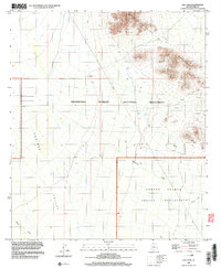
1996 Map of Gap Tank
USGS Topo · Published 2003About this map
The West Silver Bell Mountains dominate the northeastern portion of this Sonoran Desert landscape, where the peaks descend into the broad Aguirre Valley. This area, managed as part of the Ironwood Forest National Monument, reflects a history of both resource extraction and cultural boundaries. Evidence of mineral exploration is scattered across the slopes in the form of various prospects and a specific Mine Shaft located near the eastern boundary.
Find a feature on this map
12 named features on this map. Tap any name to fly to it.
Don’t see what you’re looking for? This feature index may not catch every label — zoom into the map to look around manually.
Map Details
Editions of this 1996 Gap Tank Map
This is the sole edition of this map. No revisions or reprints were ever made.
Other maps of this area

1934 · Silver Bell
USGS Topo · 1:125,000

1942 · Silver Reef Mountains
USGS Topo · 1:62,500

1947 · Eloy
USGS Topo · 1:62,500

1948 · Eloy
USGS Topo · 1:62,500

1956 · Tucson
USGS Topo · 1:250,000

1958 · Tucson
USGS Topo · 1:250,000

1959 · Tucson
USGS Topo · 1:250,000

1959 · Vaca Hills
USGS Topo · 1:62,500

1962 · Tucson
USGS Topo · 1:250,000
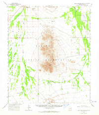
1963 · Santa Rosa Mountains
USGS Topo · 1:62,500