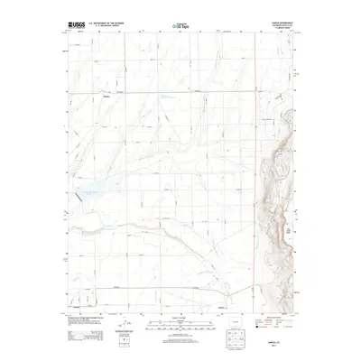
2013 Map of Garcia
USGS Topo · Published 2013About this map
Mesita, Garcia, and Jaroso anchor this corner of the San Luis Valley, where the high desert landscape is defined by an intricate network of early 21st-century irrigation infrastructure. The geography is characterized by the managed flow of water through engineered features like the Eastdale Culebra Canal and the Costilla Cr Reservoir Ditch, which support agriculture in this arid basin. Two significant catchment areas, Eastdale Reservoir Number 1 and Eastdale Reservoir Number 2, sit within the flatlands, providing essential storage for the surrounding ranching and farming communities.
Find a feature on this map
53 named features on this map. Tap any name to fly to it.
Don’t see what you’re looking for? This feature index may not catch every label — zoom into the map to look around manually.
Map Details
Editions of this 2013 Garcia Map
This is the sole edition of this map. No revisions or reprints were ever made.
Other maps of this area

1954 · Raton
USGS Topo · 1:250,000

1954 · Trinidad
USGS Topo · 1:250,000

1955 · Trinidad
USGS Topo · 1:250,000

1958 · Raton
USGS Topo · 1:250,000

1958 · Trinidad
USGS Topo · 1:250,000

1959 · Trinidad
USGS Topo · 1:250,000

1963 · Costilla
USGS Topo · 1:24,000

1963 · Amalia
USGS Topo · 1:24,000

1963 · Ute Mountain
USGS Topo · 1:24,000

1967 · San Luis
USGS Topo · 1:24,000