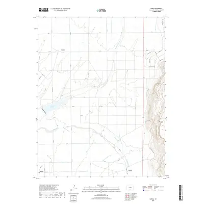
2019 Map of Garcia
USGS Topo · Published 2019About this map
Mesita, Jaroso, and Garcia anchor this high-desert agricultural landscape in Costilla County, where a sophisticated network of gravity-fed irrigation supports life at the base of the mountains. The distribution of water is the primary architect of the region, visible through the extensive reaches of the Eastdale Culebra Canal, Jaroso Ditch, and Chalifa Ditch. These waterways manage flow from sources like Costilla Cr and Eastdale Reservoir Number 1 to create a geometric grid of farm roads and fields that contrast sharply with the rising elevation of San Pedro Mesa to the east. The map captures the quiet resilience of these borderland settlements, where the local economy remains deeply tied to the land and the historic infrastructure of the Eastdale Br Cerro Canal.
Find a feature on this map
45 named features on this map. Tap any name to fly to it.
Don’t see what you’re looking for? This feature index may not catch every label — zoom into the map to look around manually.
Map Details
Editions of this 2019 Garcia Map
This is the sole edition of this map. No revisions or reprints were ever made.
Other maps of this area

1954 · Raton
USGS Topo · 1:250,000

1954 · Trinidad
USGS Topo · 1:250,000

1955 · Trinidad
USGS Topo · 1:250,000

1958 · Raton
USGS Topo · 1:250,000

1958 · Trinidad
USGS Topo · 1:250,000

1959 · Trinidad
USGS Topo · 1:250,000

1963 · Costilla
USGS Topo · 1:24,000

1963 · Amalia
USGS Topo · 1:24,000

1963 · Ute Mountain
USGS Topo · 1:24,000

1967 · San Luis
USGS Topo · 1:24,000