
1960 Map of Garden City 3 SW
USGS Topo · Published 1961About this map
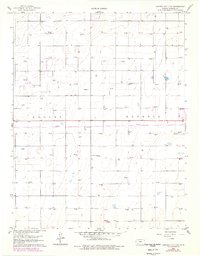
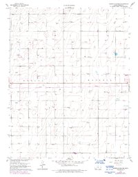
The High Plains of Haskell County are defined by a sprawling grid of energy infrastructure and section lines as they appeared in 1960. This survey documents a landscape dominated by the Hugoton Gas Area, where dozens of sites marked simply as Gas Well puncture the flat terrain. The sheer density of these wells, distributed with mathematical precision across the townships of Dudley and Haskell, illustrates the mid-century industrialization of western Kansas. Cultural markers are few in this sparsely populated region, with the Haskell Cem in the eastern portion of the sheet serving as one of the few named landmarks for genealogists or local historians tracing early families of the county. The map's contour lines show very little elevation change, highlighting the plateau-like character of the Kansas prairie before more modern development altered the surface.
Find a feature on this map
5 named features on this map. Tap any name to fly to it.
Don’t see what you’re looking for? This feature index may not catch every label — zoom into the map to look around manually.
Map Details
Editions of this 1960 Garden City 3 SW Map
3 editions found
Other maps of this area

1891 · Larned
USGS Topo · 1:125,000

1896 · Garden
USGS Topo · 1:125,000

1900 · Lakin
USGS Topo · 1:125,000

1944 · Moscow
USGS Topo · 1:62,500

1945 · Moscow
USGS Topo · 1:62,500

1955 · Dodge City
USGS Topo · 1:250,000

1958 · Dodge City
USGS Topo · 1:250,000

1959 · Dodge City
USGS Topo · 1:250,000

1959 · Garden City 3 NW
USGS Topo · 1:24,000

1959 · Hickok NE
USGS Topo · 1:24,000