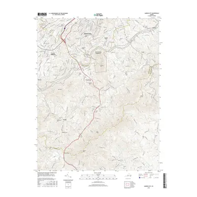
2016 Map of Garden City
USGS Topo · Published 2016About this map
Roanoke and its southeastern suburbs meet the rising slopes of the Blue Ridge in this survey of the valley and mountainside. The landscape transitions from the developed streets of Cave Spring and Garden City to the steep elevations of Mill Mtn, Stone Mtn, and Roanoke Mtn. Higher ground is defined by prominent gaps such as Windy Gap and Crowell Gap, which served as natural conduits for movement between the Roanoke Valley and the Franklin Co line.
Find a feature on this map
211 named features on this map. Tap any name to fly to it.
Don’t see what you’re looking for? This feature index may not catch every label — zoom into the map to look around manually.
Map Details
Editions of this 2016 Garden City Map
This is the sole edition of this map. No revisions or reprints were ever made.
Other maps of this area

1890 · Roanoke
USGS Topo · 1:125,000

1890 · Christiansburg
USGS Topo · 1:125,000

1891 · Roanoke
USGS Topo · 1:125,000

1929 · Roanoke
USGS Topo · 1:48,000

1929 · Salem
USGS Topo · 1:48,000

1932 · Salem
USGS Topo · 1:62,500

1933 · Roanoke
USGS Topo · 1:62,500

1947 · Roanoke
USGS Topo · 1:250,000

1950 · Elliston
USGS Topo · 1:62,500

1951 · Boones Mill
USGS Topo · 1:62,500