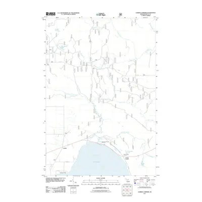
2011 Map of Garden Corners
USGS Topo · Published 2011About this map
Big Bay de Noc forms the southern boundary of this Upper Peninsula landscape, where the Fishdam River and its numerous tributaries drainage into Lake Michigan. The settlement of Garden Corners serves as a central junction for travelers, featuring the Garden Corners Rest Area near the shoreline. Further west, the small community of Isabella sits inland, connected by a network of rural roads such as Sand Ridge Rd and 29 1/2 Rd.
Find a feature on this map
25 named features on this map. Tap any name to fly to it.
Don’t see what you’re looking for? This feature index may not catch every label — zoom into the map to look around manually.
Map Details
Editions of this 2011 Garden Corners Map
This is the sole edition of this map. No revisions or reprints were ever made.
Other maps of this area

1931 · Steuben SW
USGS Topo · 1:31,680

1931 · Cooks NW
USGS Topo · 1:31,680

1932 · Garden NW and SW
USGS Topo · 1:31,680

1932 · Skeels Lake SE
USGS Topo · 1:31,680

1932 · Garden SE
USGS Topo · 1:31,680

1932 · Skeels Lake NW and SW
USGS Topo · 1:31,680

1932 · Garden NE
USGS Topo · 1:31,680

1954 · Escanaba
USGS Topo · 1:250,000

1957 · Escanaba
USGS Topo · 1:250,000

1958 · Escanaba
USGS Topo · 1:250,000