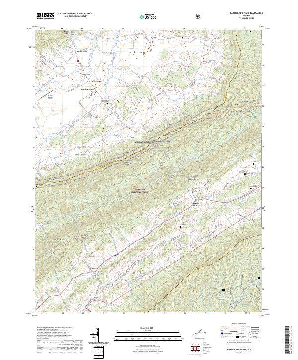
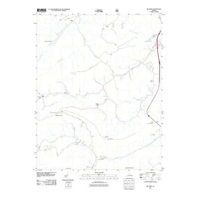
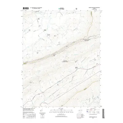
2022 Map of Garden Mountain
USGS Topo · Published 2022About this map
Burkes Garden occupies a unique geologic bowl in the mountains, a high-altitude valley completely encircled by ridges. This distinctive topography is accessed through The Gap, where Burkes Garden Creek provides the only natural drainage for the basin. The settlement pattern here is deeply rooted, evidenced by family-named landmarks like Thompson Cem and Brown Cem. The landscape is divided by the Tennessee Valley Divide, with waters flowing toward different river systems from the slopes of Garden Mtn.
Find a feature on this map
77 named features on this map. Tap any name to fly to it.
Don’t see what you’re looking for? This feature index may not catch every label — zoom into the map to look around manually.
Map Details
Editions of this 2022 Garden Mountain Map
This is the sole edition of this map. No revisions or reprints were ever made.
Historical Maps of Sharon Springs Through Time
13 maps found
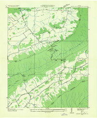
1935 Garden Mountain
Bland County, VA
1958 Garden Mountain
Bland County, VA
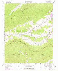
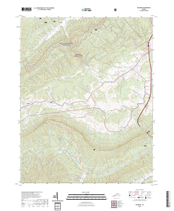
1968 Big Bend
Bland County, VA
2011 Big Bend
Bland County, VA
2011 Garden Mountain
Bland County, VA
2013 Big Bend
Bland County, VA
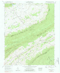
2013 Garden Mountain
Bland County, VA
2016 Big Bend
Bland County, VA
2016 Garden Mountain
Bland County, VA
2019 Big Bend
Bland County, VA
2019 Garden Mountain
Bland County, VA
2022 Big Bend
Bland County, VA
2022 Garden Mountain
Bland County, VA