Loading...
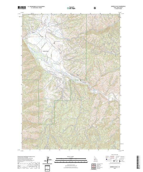
Loading map...2024 Map of Garden Valley
USGS Topo · Published 2024About this map
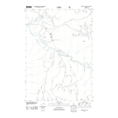
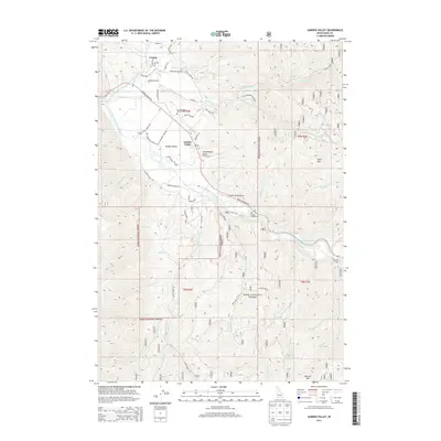
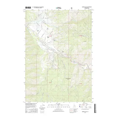
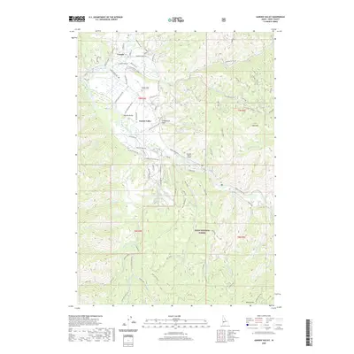
The confluence of the Middle Fork Payette River and South Fork Payette River anchors this study of the Boise County backcountry. Centered on the settlements of Crouch and Garden Valley, the map details a landscape where river-valley development meets the steep ascent of the North Fork Range. Local heritage is preserved at the Garden Valley Pioneer Cem, situated near Old Crouch Rd, while modern utility is represented by the Garden Valley Airport.
Find a feature on this map
63 named features on this map. Tap any name to fly to it.
Don’t see what you’re looking for? This feature index may not catch every label — zoom into the map to look around manually.
Map Details
Date Portrayed2024
Date Published2024
PublisherU.S. Geological Survey
Map TypeTopographic
Scale1:24,000
Physical Dimensions24 x 29 inches
Editions of this 2024 Garden Valley Map
This is the sole edition of this map. No revisions or reprints were ever made.
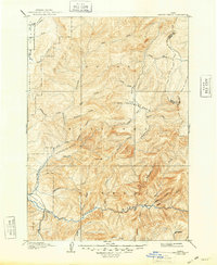
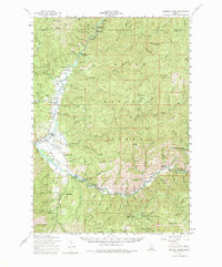
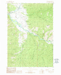
Historical Maps of Crouch Through Time
8 maps found
Featured Locations
Source Details
SourceU.S. Geological Survey
CopyrightPublic Domain