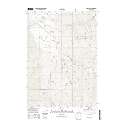
2013 Map of Garden Valley
USGS Topo · Published 2013About this map
The confluence of the Middle Fork Payette River and the South Fork Payette River dictates the settlement patterns of this Boise County region. Located within the Boise National Forest, the small communities of Crouch and Garden Valley occupy the relatively flat river valley floor, surrounded by high peaks like Bald Mtn and Mineral Mtn. For local historians and genealogists, the Garden Valley Pioneer Cem near the Garden Valley post office offers a tangible link to the area's early residents.
Find a feature on this map
92 named features on this map. Tap any name to fly to it.
Don’t see what you’re looking for? This feature index may not catch every label — zoom into the map to look around manually.
Map Details
Editions of this 2013 Garden Valley Map
This is the sole edition of this map. No revisions or reprints were ever made.
Other maps of this area
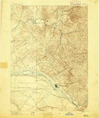
1892 · Boise
USGS Topo · 1:125,000
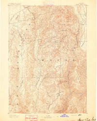
1894 · Squaw Creek
USGS Topo · 1:125,000
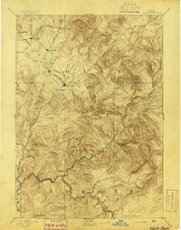
1894 · Idaho Basin
USGS Topo · 1:125,000
1897 · Boise
USGS Topo · 1:125,000
1909 · Garden Valley
USGS Topo · 1:125,000
1953 · Banks
USGS Topo · 1:62,500
1955 · Baker
USGS Topo · 1:250,000
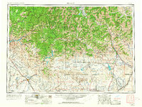
1955 · Hailey
USGS Topo · 1:250,000
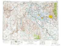
1955 · Boise
USGS Topo · 1:250,000
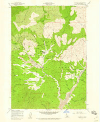
1957 · Placerville
USGS Topo · 1:24,000