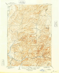
1909 Map of Garden Valley
USGS Topo · Published 1948About this map
The Boise National Forest dominates this early twentieth-century landscape, characterized by the intricate drainage systems of the Middle Fork Payette River and the Deadwood River. Surveyed via reconnaissance methods in the 1890s, the map reveals a wilderness structured by high ridgelines like Lightning Ridge and prominent summits such as Scott Mtn. The settlement of Banner appears in the southeastern corner, serving as a rare anchor point in a territory otherwise defined by named creeks and basins.
Find a feature on this map
35 named features on this map. Tap any name to fly to it.
Don’t see what you’re looking for? This feature index may not catch every label — zoom into the map to look around manually.
Map Details
Editions of this 1909 Garden Valley Map
2 editions found
Other maps of this area

1891 · Bear Valley
USGS Topo · 1:125,000

1892 · Boise
USGS Topo · 1:125,000

1893 · Bear Valley
USGS Topo · 1:125,000

1894 · Squaw Creek
USGS Topo · 1:125,000

1894 · Idaho Basin
USGS Topo · 1:125,000

1894 · Rocky Bar
USGS Topo · 1:125,000

1897 · Boise
USGS Topo · 1:125,000

1909 · Garden Valley
USGS Topo · 1:125,000

1911 · Meadows
USGS Topo · 1:125,000

1953 · Smiths Ferry
USGS Topo · 1:62,500