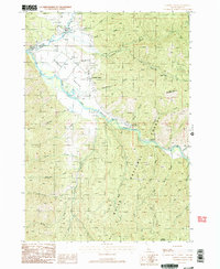
1988 Map of Garden Valley
USGS Topo · Published 1989About this map
The confluence of the Middle Fork Payette River and the South Fork Payette River shapes this corner of the Boise National Forest during the late 1980s. The settlement of Garden Valley serves as the central hub, supported by the Garden Valley Ranger Station and a local Landing Strip. Nearby, the village of Crouch sits along the northern banks of the fork, surrounded by a complex network of drainage systems such as Gooseberry Creek and Anderson Creek. Local history is anchored at the Garden Valley Pioneer Cemetery, while the presence of a Heliport and the Hot Springs Campground reflects the area's dual role in forest management and backcountry recreation. The terrain is defined by significant elevations like Bald Mountain and Mineral Mountain, separated by deep ravines including Schoolhouse Gulch.
Find a feature on this map
33 named features on this map. Tap any name to fly to it.
Don’t see what you’re looking for? This feature index may not catch every label — zoom into the map to look around manually.
Map Details
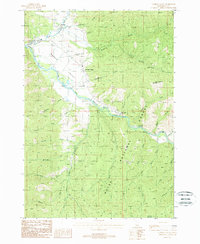
Editions of this 1988 Garden Valley Map
2 editions found
Other maps of this area

1892 · Boise
USGS Topo · 1:125,000

1894 · Squaw Creek
USGS Topo · 1:125,000

1894 · Idaho Basin
USGS Topo · 1:125,000

1897 · Boise
USGS Topo · 1:125,000

1909 · Garden Valley
USGS Topo · 1:125,000

1953 · Banks
USGS Topo · 1:62,500

1955 · Baker
USGS Topo · 1:250,000

1955 · Hailey
USGS Topo · 1:250,000

1955 · Boise
USGS Topo · 1:250,000

1957 · Placerville
USGS Topo · 1:24,000