
1968 Map of Gardendale NW
USGS Topo · Published 1970About this map
Midland Farms and the surrounding Permian Basin landscape are defined by the intensive energy infrastructure of the late 1960s. This survey, based on 1966 aerial photography and 1968 planetable fieldwork, reveals a vast network of pipelines and service roads supporting the Midland Farms North Oil Field, Midland Farms Oil Field, and Mabee Oil Field. The industrial character of the area is anchored by a Gasoline Plant and several scattered Gravel Pit excavations.
Find a feature on this map
24 named features on this map. Tap any name to fly to it.
Don’t see what you’re looking for? This feature index may not catch every label — zoom into the map to look around manually.
Map Details
Editions of this 1968 Gardendale NW Map
This is the sole edition of this map. No revisions or reprints were ever made.
Other maps of this area

1954 · Hobbs
USGS Topo · 1:250,000

1958 · Hobbs
USGS Topo · 1:250,000

1963 · Andrews
USGS Topo · 1:24,000

1967 · North Cowden
USGS Topo · 1:24,000

1968 · Baird Lake
USGS Topo · 1:24,000

1968 · Clabber Hill Ranch
USGS Topo · 1:24,000
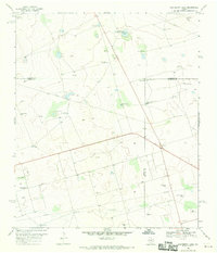
1968 · Hackberry Lake
USGS Topo · 1:24,000
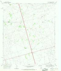
1968 · Gardendale
USGS Topo · 1:24,000

1971 · Five Wells Ranch SE
USGS Topo · 1:24,000
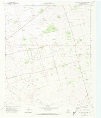
1971 · Five Wells Ranch SW
USGS Topo · 1:24,000