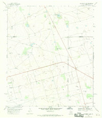
1968 Map of Hackberry Lake
USGS Topo · Published 1970About this map
The settlement of Gardendale anchors the southwestern portion of this West Texas landscape, which is defined by its industrial and agricultural infrastructure in the late 1960s. Situated at the junction of Ector, Andrews, and Midland counties, the area is heavily marked by energy and water management features. A dense network of Pipeline routes and numerous Drill Holes and Oil Wells reveal the intensity of petroleum extraction during this era.
Find a feature on this map
29 named features on this map. Tap any name to fly to it.
Don’t see what you’re looking for? This feature index may not catch every label — zoom into the map to look around manually.
Map Details
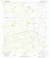
Editions of this 1968 Hackberry Lake Map
2 editions found
Other maps of this area

1954 · Hobbs
USGS Topo · 1:250,000

1954 · Pecos
USGS Topo · 1:250,000

1957 · Pecos
USGS Topo · 1:250,000

1958 · Hobbs
USGS Topo · 1:250,000

1964 · Odessa NE
USGS Topo · 1:24,000

1964 · Odessa NW
USGS Topo · 1:24,000

1965 · Southwest Midland
USGS Topo · 1:24,000

1966 · Mabee Ranch
USGS Topo · 1:24,000

1966 · Northwest Midland
USGS Topo · 1:24,000

1968 · Baird Lake
USGS Topo · 1:24,000