
1966 Map of Northwest Midland
USGS Topo · Published 1968About this map
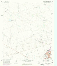
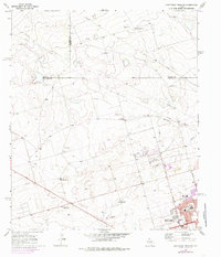
The northern reaches of Midland expand into a landscape defined by ranching and essential infrastructure in the mid-1960s. This survey illustrates the urban-rural interface where residential development meets the open West Texas plains, anchored by local institutions like Lee High Sch and Rusk Sch. The presence of the High Sky Girls Ranch and the Drive-in Theater reflects the community character of the era, while the vast network of Pipeline routes and an Aqueduct crossing the Midland Draw underscore the region's industrial and water management priorities.
Find a feature on this map
22 named features on this map. Tap any name to fly to it.
Don’t see what you’re looking for? This feature index may not catch every label — zoom into the map to look around manually.
Map Details
Editions of this 1966 Northwest Midland Map
3 editions found
Other maps of this area

1954 · Hobbs
USGS Topo · 1:250,000

1954 · Pecos
USGS Topo · 1:250,000

1957 · Pecos
USGS Topo · 1:250,000

1958 · Hobbs
USGS Topo · 1:250,000

1964 · Odessa NE
USGS Topo · 1:24,000

1965 · Southeast Midland
USGS Topo · 1:24,000

1965 · Southwest Midland
USGS Topo · 1:24,000

1965 · Northeast Midland
USGS Topo · 1:24,000

1966 · Mabee Ranch
USGS Topo · 1:24,000

1966 · North Curtis Ranch
USGS Topo · 1:24,000