
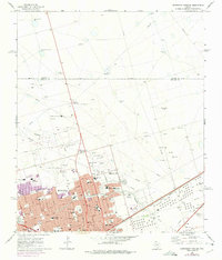
1965 Map of Northeast Midland
USGS Topo · Published 1968About this map
The growing city of Midland is captured here during a period of significant mid-century expansion. The urban grid is dense with neighborhood schools and parks, such as San Jacinto Jr High Sch and Crockett Park, reflecting the post-war housing boom. To the north, the landscape remains largely industrial and open, marked by gravel pits and landmarks like the Valhalla Mausoleum. The Texas and Pacific railroad corridor serves as a primary axis for the region's economy, running parallel to the residential blocks of Alabama Ave and Texas Ave.
Find a feature on this map
73 named features on this map. Tap any name to fly to it.
Don’t see what you’re looking for? This feature index may not catch every label — zoom into the map to look around manually.
Map Details
Editions of this 1965 Northeast Midland Map
2 editions found
Other maps of this area

1954 · Hobbs
USGS Topo · 1:250,000

1954 · Pecos
USGS Topo · 1:250,000

1954 · Big Spring
USGS Topo · 1:250,000

1954 · San Angelo
USGS Topo · 1:250,000

1957 · Pecos
USGS Topo · 1:250,000

1958 · San Angelo
USGS Topo · 1:250,000

1958 · Big Spring
USGS Topo · 1:250,000

1958 · Hobbs
USGS Topo · 1:250,000

1965 · San Angelo
USGS Topo · 1:250,000

1965 · Southeast Midland
USGS Topo · 1:24,000