
1965 Map of Southeast Midland
USGS Topo · Published 1966About this map
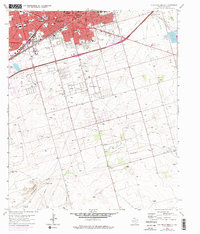
Midland expanded rapidly across the High Plains in the mid-1960s, a period of significant growth driven by the Permian Basin's mid-century petroleum boom. The urban grid is dense with neighborhood amenities, from the uniquely named Dennis the Menace Park and Halff Park to numerous educational centers like Cowden Jr High Sch and Travis Sch. The Texas and Pacific railroad bisects the city, anchoring the industrial and commercial core near Thomason Drive and Taylor Ave.
Find a feature on this map
31 named features on this map. Tap any name to fly to it.
Don’t see what you’re looking for? This feature index may not catch every label — zoom into the map to look around manually.
Map Details
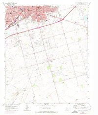
Editions of this 1965 Southeast Midland Map
3 editions found
Other maps of this area

1954 · Hobbs
USGS Topo · 1:250,000

1954 · Pecos
USGS Topo · 1:250,000

1954 · Big Spring
USGS Topo · 1:250,000

1954 · San Angelo
USGS Topo · 1:250,000

1957 · Pecos
USGS Topo · 1:250,000

1958 · San Angelo
USGS Topo · 1:250,000

1958 · Big Spring
USGS Topo · 1:250,000

1958 · Hobbs
USGS Topo · 1:250,000

1964 · Bryant Ranch
USGS Topo · 1:24,000

1964 · Parks
USGS Topo · 1:24,000