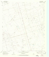
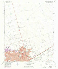
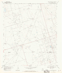
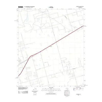
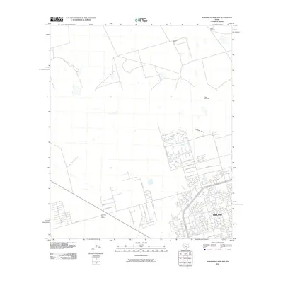
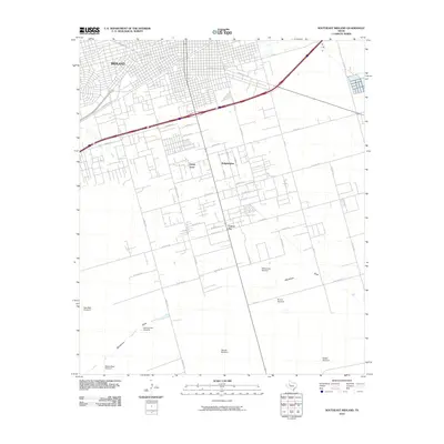
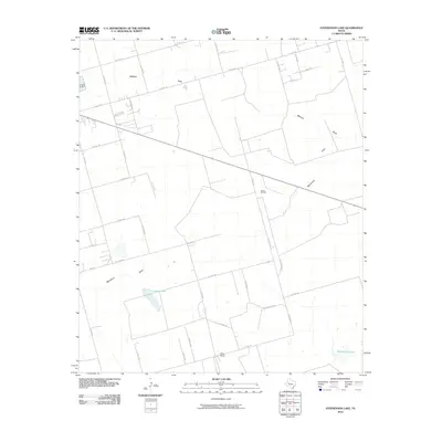
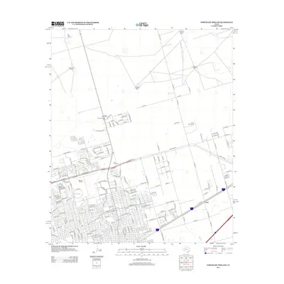
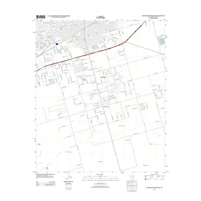
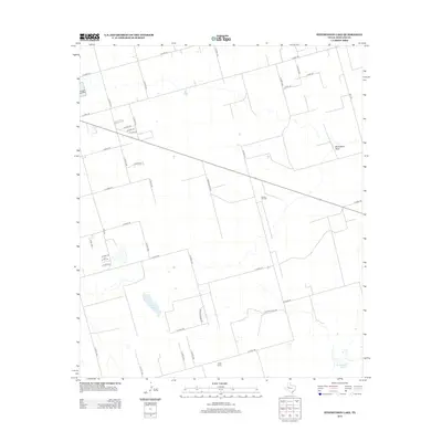
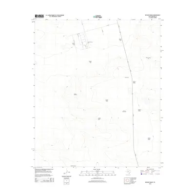
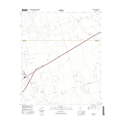
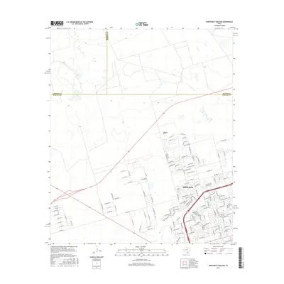
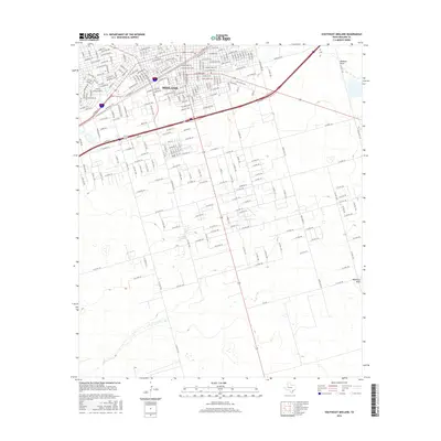
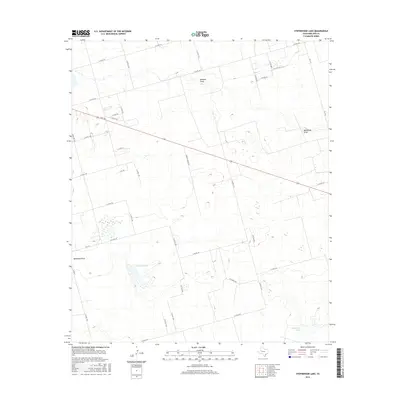
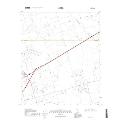
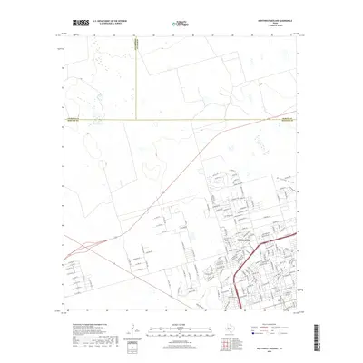
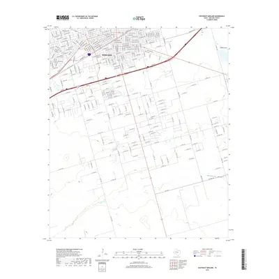
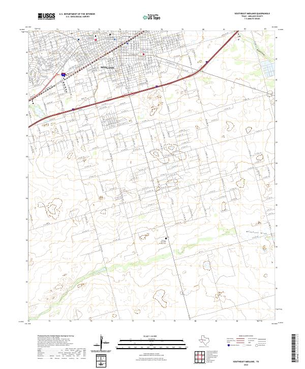
1965 Map of Southeast Midland
USGS Topo · Published 1975About this map
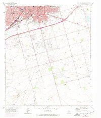
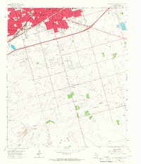
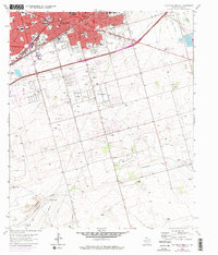
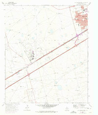
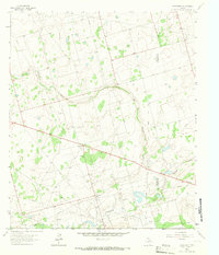
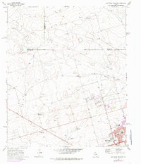
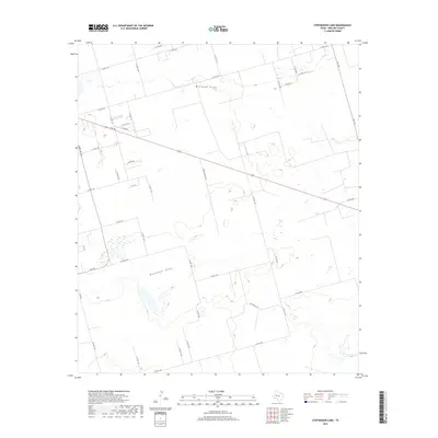
Midland expands southward during the mid-1960s, its urban grid pushing into the West Texas landscape along the Texas and Pacific railroad line. This period of growth is evident in the cluster of educational and civic institutions, including Carter High Sch, Cowden Jr High Sch, and St Ann Sch. Beyond the dense city blocks, the landscape transitions into smaller outlying settlements like Sandy Acres and Cotton Flat, the latter centered around the Cotton Flat Ch.
Find a feature on this map
55 named features on this map. Tap any name to fly to it.
Don’t see what you’re looking for? This feature index may not catch every label — zoom into the map to look around manually.
Map Details
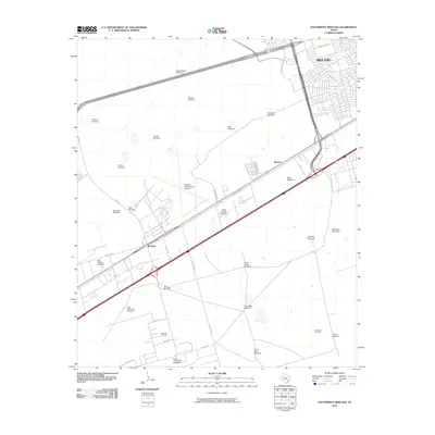
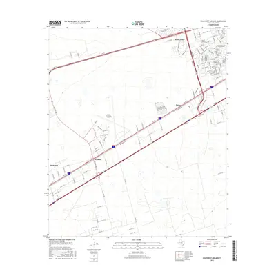
Editions of this 1965 Southeast Midland Map
3 editions found
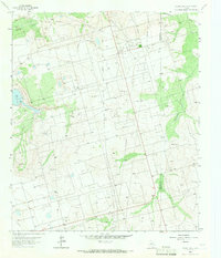
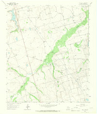
Historical Maps of Midland Through Time
96 maps found
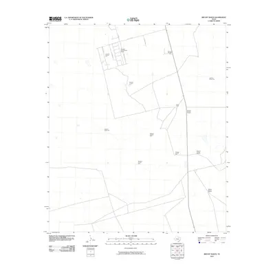
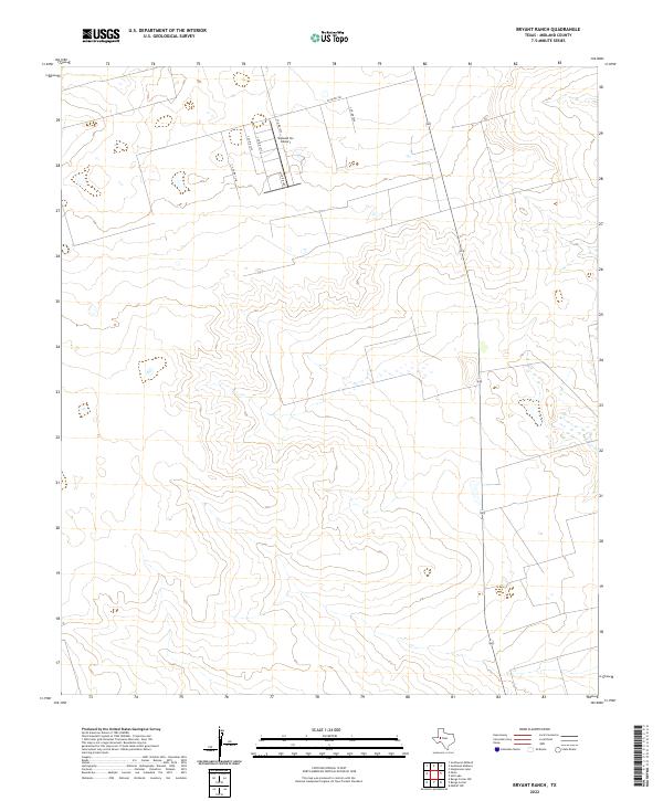
1964 Bryans Ranch
Midland County, TX
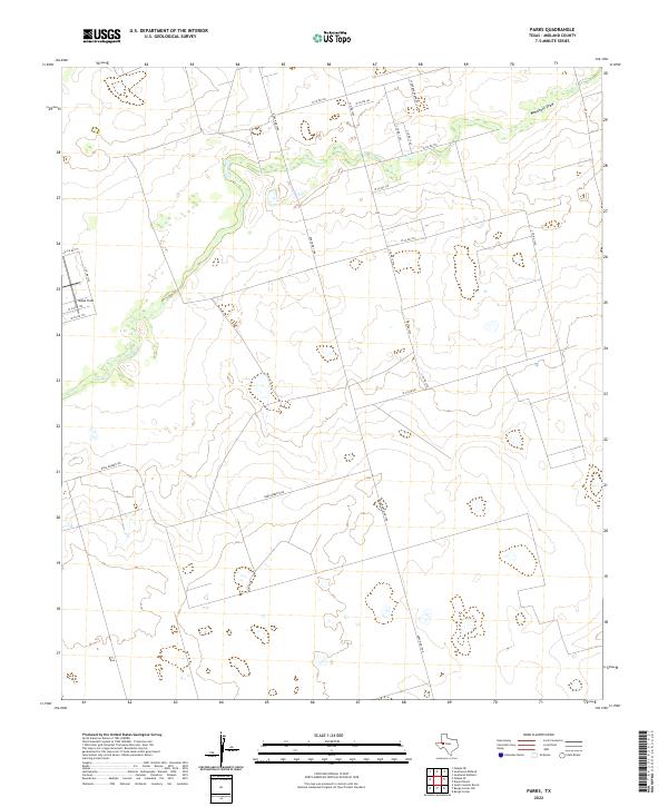
1964 Parks
Midland County, TX
1965 Northeast Midland
Midland County, TX
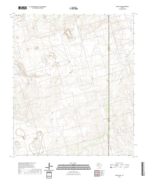
1965 Pecks Lake
Midland County, TX
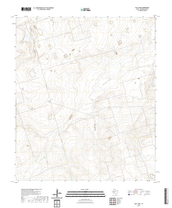
1965 Salt Lake
Midland County, TX
1965 Southeast Midland
Midland County, TX
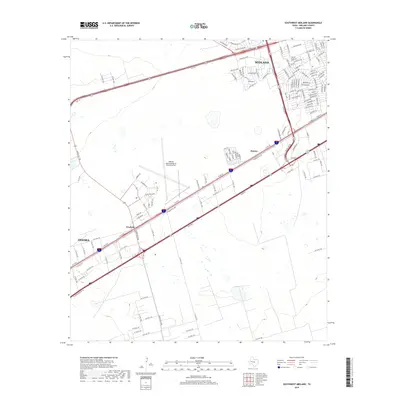
1965 Southwest Midland
Midland County, TX
1965 Spraberry
Midland County, TX
1965 Stephenson Lake
Midland County, TX
1966 Germania
Midland County, TX
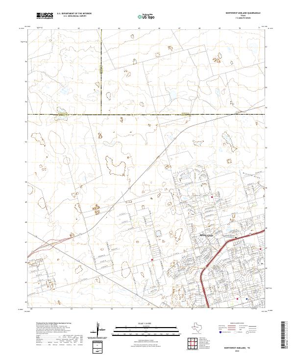
1966 Northwest Midland
Midland County, TX
1966 Stanton SE
Midland County, TX
1967 Midkiff
Midland County, TX
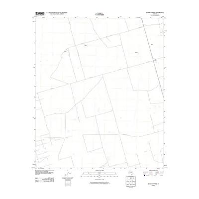
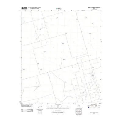
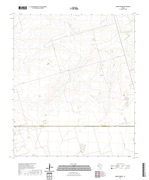
1968 Benge Corner
Midland County, TX
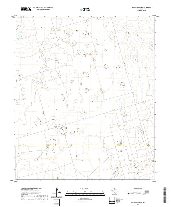
1968 Benge Corner NW
Midland County, TX

1968 Midkiff NW
Midland County, TX
2010 Benge Corner
Midland County, TX
2010 Benge Corner NW
Midland County, TX
2010 Bryant Ranch
Midland County, TX
2010 Germania
Midland County, TX
2010 Midkiff
Midland County, TX
2010 Midkiff NW
Midland County, TX
2010 Northeast Midland
Midland County, TX
2010 Northwest Midland
Midland County, TX
2010 Parks
Midland County, TX
2010 Pecks Lake
Midland County, TX
2010 Salt Lake
Midland County, TX
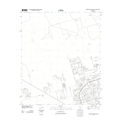
2010 Southeast Midland
Midland County, TX
2010 Southwest Midland
Midland County, TX
2010 Spraberry
Midland County, TX
2010 Stanton SE
Midland County, TX
2010 Stephenson Lake
Midland County, TX
2012 Benge Corner
Midland County, TX
2012 Benge Corner NW
Midland County, TX
2012 Germania
Midland County, TX
2012 Northeast Midland
Midland County, TX
2012 Northwest Midland
Midland County, TX
2012 Pecks Lake
Midland County, TX
2012 Salt Lake
Midland County, TX
2012 Southeast Midland
Midland County, TX
2012 Southwest Midland
Midland County, TX
2012 Spraberry
Midland County, TX
2012 Stanton SE
Midland County, TX
2012 Stephenson Lake
Midland County, TX
2013 Midkiff
Midland County, TX
2013 Midkiff NW
Midland County, TX
2013 Parks
Midland County, TX
2014 Bryant Ranch
Midland County, TX
2016 Benge Corner
Midland County, TX
2016 Benge Corner NW
Midland County, TX
2016 Bryant Ranch
Midland County, TX
2016 Germania
Midland County, TX
2016 Midkiff
Midland County, TX
2016 Midkiff NW
Midland County, TX
2016 Northeast Midland
Midland County, TX
2016 Northwest Midland
Midland County, TX
2016 Parks
Midland County, TX
2016 Pecks Lake
Midland County, TX
2016 Salt Lake
Midland County, TX
2016 Southeast Midland
Midland County, TX
2016 Southwest Midland
Midland County, TX
2016 Spraberry
Midland County, TX
2016 Stanton SE
Midland County, TX
2016 Stephenson Lake
Midland County, TX
2019 Benge Corner
Midland County, TX
2019 Benge Corner NW
Midland County, TX
2019 Bryant Ranch
Midland County, TX
2019 Germania
Midland County, TX
2019 Midkiff
Midland County, TX
2019 Midkiff NW
Midland County, TX
2019 Northeast Midland
Midland County, TX
2019 Northwest Midland
Midland County, TX
2019 Parks
Midland County, TX
2019 Pecks Lake
Midland County, TX
2019 Salt Lake
Midland County, TX
2019 Southeast Midland
Midland County, TX
2019 Southwest Midland
Midland County, TX
2019 Spraberry
Midland County, TX
2019 Stanton SE
Midland County, TX
2019 Stephenson Lake
Midland County, TX
2022 Benge Corner
Midland County, TX
2022 Benge Corner NW
Midland County, TX
2022 Bryant Ranch
Midland County, TX
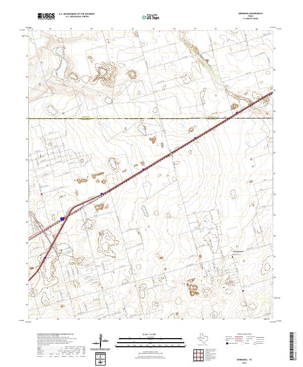
2022 Germania
Midland County, TX
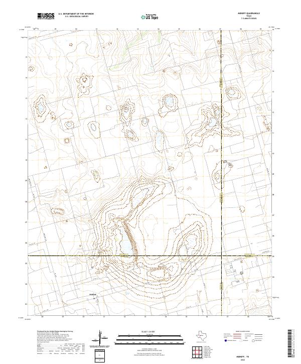
2022 Midkiff
Midland County, TX
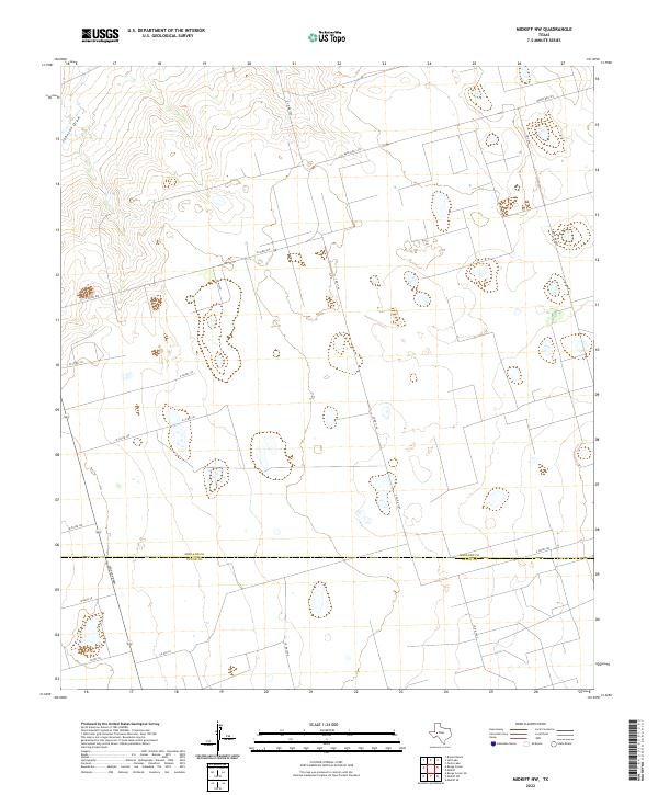
2022 Midkiff NW
Midland County, TX
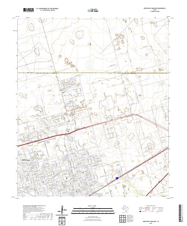
2022 Northeast Midland
Midland County, TX
2022 Northwest Midland
Midland County, TX
2022 Parks
Midland County, TX
2022 Pecks Lake
Midland County, TX
2022 Salt Lake
Midland County, TX
2022 Southeast Midland
Midland County, TX

2022 Southwest Midland
Midland County, TX
2022 Spraberry
Midland County, TX
2022 Stanton SE
Midland County, TX
2022 Stephenson Lake
Midland County, TX