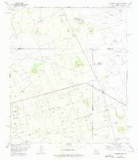
1968 Map of Hackberry Lake
USGS Topo · Published 1975About this map
Gardendale sits at the southwestern edge of a landscape defined by ranching infrastructure and the burgeoning petroleum industry in the Permian Basin. This 1968 study, with 1974 revisions, reveals an intricate network of resources spanning the intersections of Andrews, Ector, and Midland counties. Water management is central to the area's utility, marked by numerous numbered and named pumps such as Hackberry Windmill, Thomas Windmill, and West Windmill near the seasonal Hackberry Lake.
Find a feature on this map
23 named features on this map. Tap any name to fly to it.
Don’t see what you’re looking for? This feature index may not catch every label — zoom into the map to look around manually.
Map Details
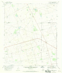
Editions of this 1968 Hackberry Lake Map
2 editions found
Other maps of this area

1954 · Hobbs
USGS Topo · 1:250,000

1954 · Pecos
USGS Topo · 1:250,000

1957 · Pecos
USGS Topo · 1:250,000

1958 · Hobbs
USGS Topo · 1:250,000

1964 · Odessa NE
USGS Topo · 1:24,000

1964 · Odessa NW
USGS Topo · 1:24,000

1965 · Southwest Midland
USGS Topo · 1:24,000

1966 · Mabee Ranch
USGS Topo · 1:24,000

1966 · Northwest Midland
USGS Topo · 1:24,000

1968 · Baird Lake
USGS Topo · 1:24,000