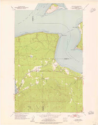
1953 Map of Gardiner
USGS Topo · Published 1955About this map
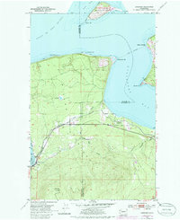
Protection Island stands prominently in the Strait of Juan de Fuca, marking the northern approaches to the sheltered waters of Port Discovery and Sequim Bay. Along the southern shoreline, the small settlements of Gardiner and Blyn are connected by the Olympic Highway, a vital corridor for the Olympic Peninsula during the early 1950s. The industrial footprint of the era is evident in the path of the Chicago Milwaukee St Paul and Pacific railroad, which follows the coast near the tidal flats. Local geography is defined by sharp coastal features like Diamond Pt and Cape George on the Quimper Peninsula, while the interior rises toward the Blyn Lookout Relay Station. This survey captures a moment when the region's economy was tightly bound to the rail lines and coastal timber shipping routes.
Find a feature on this map
25 named features on this map. Tap any name to fly to it.
Don’t see what you’re looking for? This feature index may not catch every label — zoom into the map to look around manually.
Map Details
Editions of this 1953 Gardiner Map
5 editions found
Other maps of this area

1938 · Mt Constance
USGS Topo · 1:125,000

1938 · Dungeness
USGS Topo · 1:62,500

1939 · Port Townsend
USGS Topo · 1:62,500

1939 · Dungeness
USGS Topo · 1:62,500

1940 · Quilcene
USGS Topo · 1:62,500

1946 · Tyler Peak
USGS Topo · 1:62,500

1948 · Tyler Peak
USGS Topo · 1:62,500

1953 · Center
USGS Topo · 1:24,000

1953 · Port Townsend North
USGS Topo · 1:24,000
1953 · Port Townsend South
USGS Topo · 1:24,000
Featured Places
- Cape George Colony Club, WA
- Beckett Point Fishermen's Club, WA
- Gardiner, WA
- Clallam County, WA
- Jefferson County, WA