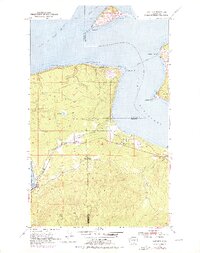
1953 Map of Gardiner
USGS Topo · Published 1976About this map
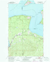
Protection Island stands at the northern entrance to Port Discovery, anchoring this coastal survey of the maritime boundary between Clallam and Jefferson counties. The landscape is defined by the narrow necks and spits of the Quimper Peninsula and Miller Peninsula, where land meets the Strait of Juan de Fuca. Transportation corridors are concentrated along the southern shoreline, where the Chicago Milwaukee St Paul and Pacific railroad and the Olympic Highway parallel the coast. Local life centers on the settlements of Gardiner and Blyn, the latter of which features a small Cem and the Blyn Lookout Relay Sta. The presence of the Diamond Point Airport at the tip of a prominent peninsula highlights the area's mid-century aviation infrastructure, while numerous named points like Diamond Pt and Thompson Spit reflect the intricate topography of the Puget Sound's northern reaches.
Find a feature on this map
26 named features on this map. Tap any name to fly to it.
Don’t see what you’re looking for? This feature index may not catch every label — zoom into the map to look around manually.
Map Details
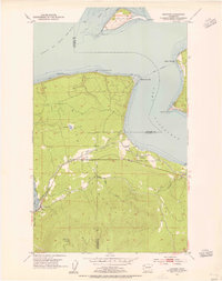
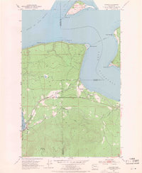
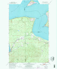
Editions of this 1953 Gardiner Map
5 editions found
Other maps of this area

1938 · Mt Constance
USGS Topo · 1:125,000

1938 · Dungeness
USGS Topo · 1:62,500

1939 · Port Townsend
USGS Topo · 1:62,500

1939 · Dungeness
USGS Topo · 1:62,500

1940 · Quilcene
USGS Topo · 1:62,500

1946 · Tyler Peak
USGS Topo · 1:62,500

1948 · Tyler Peak
USGS Topo · 1:62,500

1953 · Center
USGS Topo · 1:24,000

1953 · Port Townsend North
USGS Topo · 1:24,000
1953 · Port Townsend South
USGS Topo · 1:24,000
Featured Places
- Cape George Colony Club, WA
- Beckett Point Fishermen's Club, WA
- Gardiner, WA
- Clallam County, WA
- Jefferson County, WA