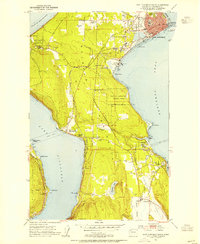
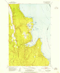
1953 Map of Port Townsend South
USGS Topo · Published 1955About this map
Port Townsend anchors the northeastern corner of the Quimper Peninsula in the mid-1950s, serving as a hub where maritime and timber interests converge. Industrial development is evident at the paper mill near Glen Cove, while the Chicago Milwaukee St Paul and Pacific rail line traces the shoreline of Port Discovery to the west. This period shows a landscape transitioning between its pioneer roots and modern infrastructure, featuring local landmarks like St Johns Hosp, the Municipal Golf Course, and the Discovery Bay Camp Meeting. To the south, the agricultural Chimacum Valley opens up, punctuated by the small settlements of Irondale and Hadlock. Significant coastal history is preserved at Old Ft Townsend State Park and the Cape George Military Reservation, reflecting the area's strategic importance at the entrance to the Puget Sound region.
Find a feature on this map
49 named features on this map. Tap any name to fly to it.
Don’t see what you’re looking for? This feature index may not catch every label — zoom into the map to look around manually.
Map Details
Editions of this 1953 Port Townsend South Map
4 editions found
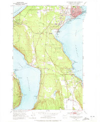
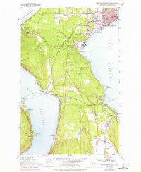
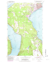
Other maps of this area

1937 · Port Gamble
USGS Topo · 1:62,500

1939 · Port Townsend
USGS Topo · 1:62,500

1939 · Coupeville
USGS Topo · 1:62,500

1940 · Port Gamble
USGS Topo · 1:62,500

1940 · Quilcene
USGS Topo · 1:62,500

1953 · Coupeville
USGS Topo · 1:24,000

1953 · Nordland
USGS Topo · 1:24,000

1953 · Center
USGS Topo · 1:24,000
1953 · Port Ludlow
USGS Topo · 1:24,000

1953 · Port Townsend North
USGS Topo · 1:24,000