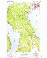
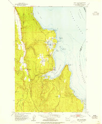
1953 Map of Port Townsend South
USGS Topo · Published 1976About this map
Port Townsend anchors the northern end of the Quimper Peninsula, showing a mid-century waterfront shaped by both industrial utility and maritime heritage. The presence of the Paper Mill at Glen Cove and the extensive rail lines of the Chicago Milwaukee St Paul and Pacific along Discovery Bay reflect the era's reliance on timber processing and heavy transport. Cultural and civic life is marked by landmarks such as St Johns Hosp, Laurel Grove Cem, and the localized Drive-in Theater, alongside the expansive grounds of Old Ft Townsend State Park.
Find a feature on this map
42 named features on this map. Tap any name to fly to it.
Don’t see what you’re looking for? This feature index may not catch every label — zoom into the map to look around manually.
Map Details
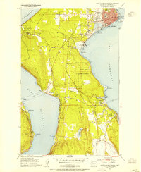
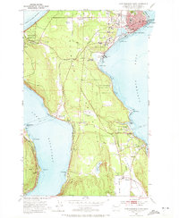
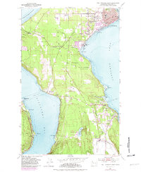
Editions of this 1953 Port Townsend South Map
4 editions found
Other maps of this area

1937 · Port Gamble
USGS Topo · 1:62,500

1939 · Port Townsend
USGS Topo · 1:62,500

1939 · Coupeville
USGS Topo · 1:62,500

1940 · Port Gamble
USGS Topo · 1:62,500

1940 · Quilcene
USGS Topo · 1:62,500

1953 · Coupeville
USGS Topo · 1:24,000

1953 · Nordland
USGS Topo · 1:24,000

1953 · Center
USGS Topo · 1:24,000
1953 · Port Ludlow
USGS Topo · 1:24,000

1953 · Port Townsend North
USGS Topo · 1:24,000