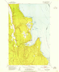
1953 Map of Port Ludlow
USGS Topo · Published 1955About this map
Port Ludlow and its surrounding coastal inlets are documented here in the early 1950s, showing a maritime landscape defined by its deep-water bays and industrial roots. The map centers on the sheltered waters of Port Ludlow and Mats Mats Bay, where the Mats Mats (Port Ludlow P O) marks the local center of mail and commerce. Inland, the Chimacum Valley floor supports small settlements like Swansonville and Beaver Valley, set against the rising timberlands that separate the coastal points.
Find a feature on this map
27 named features on this map. Tap any name to fly to it.
Don’t see what you’re looking for? This feature index may not catch every label — zoom into the map to look around manually.
Map Details
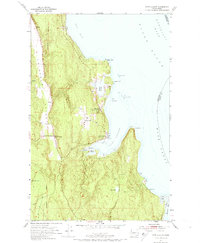
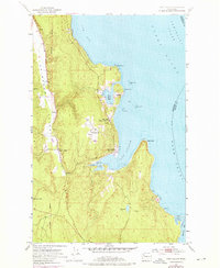
Editions of this 1953 Port Ludlow Map
3 editions found
Other maps of this area

1937 · Port Gamble
USGS Topo · 1:62,500

1939 · Port Townsend
USGS Topo · 1:62,500

1939 · Coupeville
USGS Topo · 1:62,500

1940 · Port Gamble
USGS Topo · 1:62,500

1940 · Quilcene
USGS Topo · 1:62,500

1953 · Quilcene
USGS Topo · 1:24,000

1953 · Hansville
USGS Topo · 1:24,000

1953 · Freeland
USGS Topo · 1:24,000
1953 · Port Gamble
USGS Topo · 1:24,000

1953 · Nordland
USGS Topo · 1:24,000