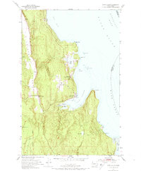
1953 Map of Port Ludlow
USGS Topo · Published 1974About this map
Port Ludlow and its surrounding coastal waters define this 1950s survey of the Olympic Peninsula shoreline. The map reveals a maritime landscape where the waters of Puget Sound meet Admiralty Inlet and Hood Canal. Along the intricate coastline, small settlements like Swansonville and Mats Mats are shown in their mid-century state, with the latter serving as the local post office location. Inland, the Chimacum Valley runs parallel to the coast, providing a corridor for early roads and farming near Beaver Valley. The presence of the Willamette Meridian serves as a reminder of the foundational surveying work that organized this part of Washington. Notable landmarks including the Water Tank and Pier at Port Ludlow, along with coastal hazards like Snake Rock and Colvos Rocks, illustrate the community's reliance on both land and sea.
Find a feature on this map
28 named features on this map. Tap any name to fly to it.
Don’t see what you’re looking for? This feature index may not catch every label — zoom into the map to look around manually.
Map Details
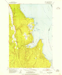
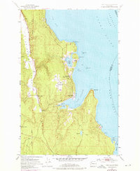
Editions of this 1953 Port Ludlow Map
3 editions found
Other maps of this area

1937 · Port Gamble
USGS Topo · 1:62,500

1939 · Port Townsend
USGS Topo · 1:62,500

1939 · Coupeville
USGS Topo · 1:62,500

1940 · Port Gamble
USGS Topo · 1:62,500

1940 · Quilcene
USGS Topo · 1:62,500

1953 · Quilcene
USGS Topo · 1:24,000

1953 · Hansville
USGS Topo · 1:24,000

1953 · Freeland
USGS Topo · 1:24,000
1953 · Port Gamble
USGS Topo · 1:24,000

1953 · Nordland
USGS Topo · 1:24,000