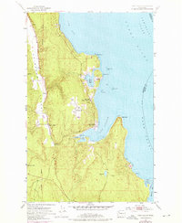
1953 Map of Port Ludlow
USGS Topo · Published 1976About this map
Port Ludlow and its surrounding coastal settlements are documented here during a period of transition in the mid-20th century. The map illustrates the complex maritime geography of the Olympic Peninsula's eastern shore, where Port Ludlow and Mats Mats Bay provide sheltered waters off the larger Admiralty Inlet and Hood Canal. Land use in the early 1950s is marked by industry and small community hubs, including the Mats Mats Quarry near the coastline and the inland crossroads of Swansonville.
Find a feature on this map
28 named features on this map. Tap any name to fly to it.
Don’t see what you’re looking for? This feature index may not catch every label — zoom into the map to look around manually.
Map Details
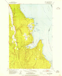
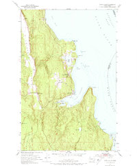
Editions of this 1953 Port Ludlow Map
3 editions found
Other maps of this area

1937 · Port Gamble
USGS Topo · 1:62,500

1939 · Port Townsend
USGS Topo · 1:62,500

1939 · Coupeville
USGS Topo · 1:62,500

1940 · Port Gamble
USGS Topo · 1:62,500

1940 · Quilcene
USGS Topo · 1:62,500

1953 · Quilcene
USGS Topo · 1:24,000

1953 · Hansville
USGS Topo · 1:24,000

1953 · Freeland
USGS Topo · 1:24,000
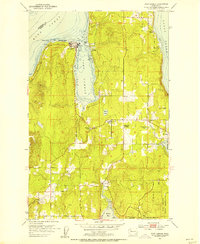
1953 · Port Gamble
USGS Topo · 1:24,000

1953 · Nordland
USGS Topo · 1:24,000