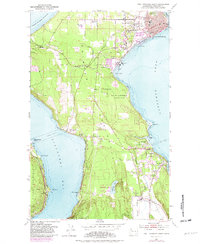
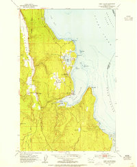
1953 Map of Port Townsend South
USGS Topo · Published 1982About this map
Port Townsend anchors this coastal landscape where the industrial and maritime history of the Quimper Peninsula meets the waters of the Strait of Juan de Fuca. The map illustrates a developed waterfront defined by a Paper Mill, Ferry Wharf, and multiple Gravel Pits that supported local infrastructure. Inland, the transition from urban to rural is marked by the presence of Old Ft Townsend State Park and the specialized grounds of the Discovery Bay Camp Meeting at Adelma Beach. Transport networks are prominently featured, including the Seattle and North Coast RR and the Jefferson County International Airport at Four Corners. Small settlements like Irondale, Hadlock, and Chimacum show the established residential patterns along the Chimacum Valley, while cemeteries like Laurel Grove Cem and local institutions like St Johns Hosp provide significant touchpoints for genealogical research.
Find a feature on this map
59 named features on this map. Tap any name to fly to it.
Don’t see what you’re looking for? This feature index may not catch every label — zoom into the map to look around manually.
Map Details
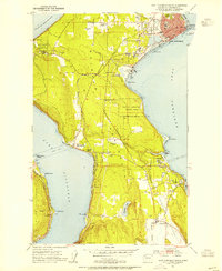
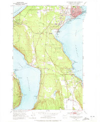
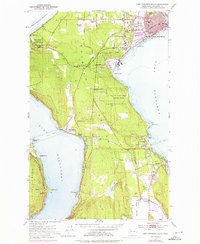
Editions of this 1953 Port Townsend South Map
4 editions found
Other maps of this area

1937 · Port Gamble
USGS Topo · 1:62,500

1939 · Port Townsend
USGS Topo · 1:62,500

1939 · Coupeville
USGS Topo · 1:62,500

1940 · Port Gamble
USGS Topo · 1:62,500

1940 · Quilcene
USGS Topo · 1:62,500

1953 · Coupeville
USGS Topo · 1:24,000

1953 · Nordland
USGS Topo · 1:24,000

1953 · Center
USGS Topo · 1:24,000
1953 · Port Ludlow
USGS Topo · 1:24,000

1953 · Port Townsend North
USGS Topo · 1:24,000