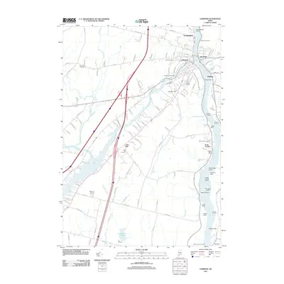
2011 Map of Gardiner
USGS Topo · Published 2011About this map
The Kennebec River corridor defines this portion of Kennebec County, anchoring the communities of Gardiner, Randolph, and South Gardiner. The river's industrial legacy is evident in the presence of the American Tissue Dam and New Mills Dam along the Cobbosseecontee Stream, which winds through the northern portion of the map. High ground like Iron Mine Hill and Libby Hill overlooks the valley, while the river itself features numerous navigational landmarks such as Farmingdale Shoal and The Sands Island.
Find a feature on this map
118 named features on this map. Tap any name to fly to it.
Don’t see what you’re looking for? This feature index may not catch every label — zoom into the map to look around manually.
Map Details
Editions of this 2011 Gardiner Map
This is the sole edition of this map. No revisions or reprints were ever made.
Other maps of this area

1892 · Gardiner
USGS Topo · 1:62,500

1892 · Augusta
USGS Topo · 1:62,500

1893 · Vassalboro
USGS Topo · 1:62,500

1893 · Wiscasset
USGS Topo · 1:62,500

1898 · Vassalboro
USGS Topo · 1:62,500

1941 · Vassalboro
USGS Topo · 1:62,500

1941 · Augusta
USGS Topo · 1:62,500

1943 · Augusta
USGS Topo · 1:62,500

1943 · Gardiner
USGS Topo · 1:62,500

1943 · Vassalboro
USGS Topo · 1:62,500