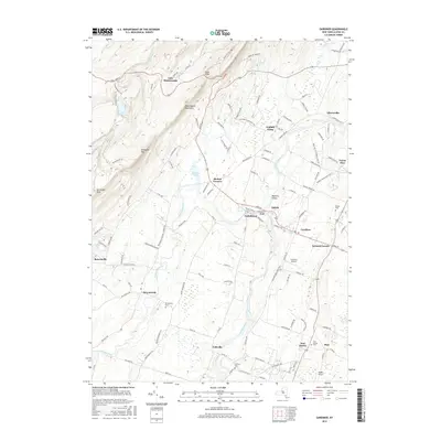
2016 Map of Gardiner
USGS Topo · Published 2016About this map
The Shawangunk Mountains dominate the western landscape of this map, featuring prominent landmarks like Gertrudes Nose and the high waters of Lake Minnewaska. At the base of these ridges, the terrain transitions into the fertile valley of the Wallkill River, which supported early regional development. This intersection of dramatic geology and agricultural land is reflected in settlements such as Gardiner and Tuthilltown.
Find a feature on this map
127 named features on this map. Tap any name to fly to it.
Don’t see what you’re looking for? This feature index may not catch every label — zoom into the map to look around manually.
Map Details
Editions of this 2016 Gardiner Map
This is the sole edition of this map. No revisions or reprints were ever made.
Other maps of this area

1901 · Rosendale
USGS Topo · 1:62,500

1903 · Newburg
USGS Topo · 1:62,500

1903 · Rosendale
USGS Topo · 1:62,500

1903 · Slide Mountain
USGS Topo · 1:62,500

1904 · Ellenville
USGS Topo · 1:62,500

1905 · Slide Mountain
USGS Topo · 1:62,500

1906 · Ellenville
USGS Topo · 1:62,500
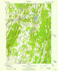
1942 · Rosendale
USGS Topo · 1:24,000
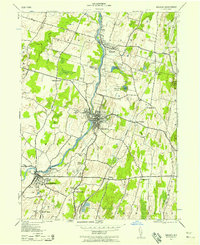
1942 · Walden
USGS Topo · 1:24,000

1942 · Kerhonkson
USGS Topo · 1:24,000