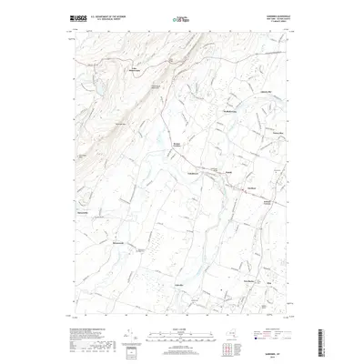
2019 Map of Gardiner
USGS Topo · Published 2019About this map
The Shawangunk Mountains dominate the western portion of this landscape, rising steeply toward high points like Millbrook Mtn and the distinctive promontory of Gertrudes Nose. This area is preserved as a recreational corridor, featuring the Lake Minnewaska settlement and an intricate network of carriage paths including the Overclift Carriage Trail and Undercliff Carriage Trail. The terrain transitions abruptly from these rocky heights into the agricultural valley of the Wallkill River and Shawangunk Kill, where local life is centered around historic crossroads.
Find a feature on this map
40 named features on this map. Tap any name to fly to it.
Don’t see what you’re looking for? This feature index may not catch every label — zoom into the map to look around manually.
Map Details
Editions of this 2019 Gardiner Map
This is the sole edition of this map. No revisions or reprints were ever made.
Other maps of this area

1901 · Rosendale
USGS Topo · 1:62,500

1903 · Newburg
USGS Topo · 1:62,500

1903 · Rosendale
USGS Topo · 1:62,500

1903 · Slide Mountain
USGS Topo · 1:62,500

1904 · Ellenville
USGS Topo · 1:62,500

1905 · Slide Mountain
USGS Topo · 1:62,500

1906 · Ellenville
USGS Topo · 1:62,500
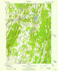
1942 · Rosendale
USGS Topo · 1:24,000
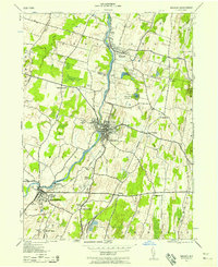
1942 · Walden
USGS Topo · 1:24,000

1942 · Kerhonkson
USGS Topo · 1:24,000