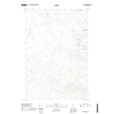
2021 Map of Gardner Pond
USGS Topo · Published 2021About this map
Wheelock Mill sits at the northern edge of this remote Maine landscape, where the waters of Fifth Pelletier Brook drain toward the north. The terrain is defined by a dense network of high-elevation glacial ponds and dramatic peaks, most notably Gardner Mtn and Deboullie Mtn. This area in T15 R10 WELS is characterized by its complex hydrography, with significant bodies of water like Gardner Pond, Togue Pond, and the interconnected Chase Ponds filling the depressions between ridges. The only primary land artery, Big Brook Rd, skirts the western edge near Big Brook and Squirrel Brook, while smaller streams such as Conners Brook and Togue Stream weave through the interior. The presence of named lakes like Galilee Pond and Mud Pond suggests a landscape largely shaped by timber and sporting history.
Find a feature on this map
19 named features on this map. Tap any name to fly to it.
Don’t see what you’re looking for? This feature index may not catch every label — zoom into the map to look around manually.
Map Details
Editions of this 2021 Gardner Pond Map
This is the sole edition of this map. No revisions or reprints were ever made.
Other maps of this area

1930 · Allagash
USGS Topo · 1:48,000

1930 · St Francis
USGS Topo · 1:48,000

1931 · Fish River Lake
USGS Topo · 1:48,000

1932 · Allagash Falls
USGS Topo · 1:48,000

1933 · Allagash
USGS Topo · 1:62,500

1933 · St Francis
USGS Topo · 1:62,500

1935 · Fish River Lake
USGS Topo · 1:62,500

1935 · Allagash Falls
USGS Topo · 1:62,500

1954 · Presque Isle
USGS Topo · 1:250,000

1956 · Allagash Falls
USGS Topo · 1:50,000