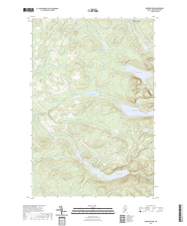
2024 Map of Gardner Pond
USGS Topo · Published 2024About this map
Wheelock Mill sits at the northern edge of this North Maine Woods landscape, representing a rare point of named settlement in a territory defined by a dense network of high-elevation lakes and streams. The terrain is dominated by the peaks of Gardner Mtn and Deboullie Mtn, which overlook a sequence of glacial water bodies including Gardner Pond, Togue Pond, and the secluded Galilee Pond. The hydrography here is complex, with Togue Stream and Chase Brook draining the various basins into the larger Chase Ponds system. This 2024 survey documents the modern state of these watersheds, where access is primarily restricted to corridors like Big Brook Rd. The map illustrates a classic Maine interior topography where industry, represented by the mill site, interfaces with a largely undeveloped wilderness of interconnected ponds like Sixth Pelletier Brook Lake and Mud Pond.
Find a feature on this map
19 named features on this map. Tap any name to fly to it.
Don’t see what you’re looking for? This feature index may not catch every label — zoom into the map to look around manually.
Map Details
Editions of this 2024 Gardner Pond Map
This is the sole edition of this map. No revisions or reprints were ever made.
Other maps of this area

1930 · Allagash
USGS Topo · 1:48,000

1930 · St Francis
USGS Topo · 1:48,000

1931 · Fish River Lake
USGS Topo · 1:48,000

1932 · Allagash Falls
USGS Topo · 1:48,000

1933 · Allagash
USGS Topo · 1:62,500

1933 · St Francis
USGS Topo · 1:62,500

1935 · Fish River Lake
USGS Topo · 1:62,500

1935 · Allagash Falls
USGS Topo · 1:62,500

1954 · Presque Isle
USGS Topo · 1:250,000

1956 · Allagash Falls
USGS Topo · 1:50,000