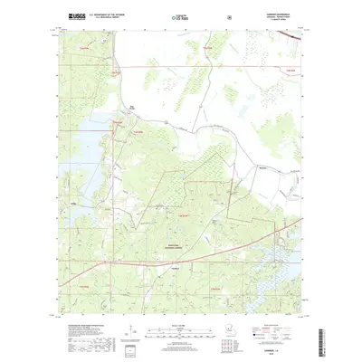
2018 Map of Gardner
USGS Topo · Published 2018About this map
Kisatchie National Forest dominates the southern landscape of this Rapides Parish region, where the terrain is defined by a complex network of waterways including Bayou Cocodrie, Bayou Rapids, and Bayou Boeuf. The settlement of Hot Wells sits near the northern boundary, while Gardner and Wilda anchor the western reaches. This area is characterized by numerous small family and community burial grounds that provide a record of local genealogy, such as Dark Neal Cem, James Cem, and the McNutt Cem located near the eponymous hill. The presence of Cotile Lake and the Kincaid Reservoir suggest a landscape managed for both water resources and recreation. Roadways like Hot Wells Rd and Bath House Rd hint at the local history of the Hot Wells community, which developed around its namesake mineral springs.
Find a feature on this map
67 named features on this map. Tap any name to fly to it.
Don’t see what you’re looking for? This feature index may not catch every label — zoom into the map to look around manually.
Map Details
Editions of this 2018 Gardner Map
This is the sole edition of this map. No revisions or reprints were ever made.
Other maps of this area

1932 · Boyce NE
USGS Topo · 1:31,680

1932 · Boyce SW
USGS Topo · 1:31,680

1937 · Chopin NE
USGS Topo · 1:31,680

1937 · Chopin SE
USGS Topo · 1:31,680

1941 · Boyce
USGS Topo · 1:62,500

1943 · Leander
USGS Topo · 1:62,500

1944 · Chopin
USGS Topo · 1:62,500

1945 · Boyce SE
USGS Topo · 1:31,680

1948 · Chopin
USGS Topo · 1:62,500

1949 · Boyce NW
USGS Topo · 1:31,680