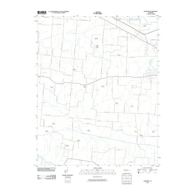
2010 Map of Gardner
USGS Topo · Published 2010About this map
Gardner Cemetery and the surrounding rural landscapes of Weakley County are meticulously detailed in this recent survey, highlighting a region defined by its small cemeteries and persistent watercourses. The drainage patterns of Cane Creek, Mud Creek, and Cypress Creek dictate the layout of the land, leading down to the Obion River in the south. The prevalence of family and community burial sites, including the Mount Pelia Cemetery, Shadtown Cemetery, and Callicott Cemetery, offers a valuable resource for genealogists tracing local lineages. The settlement of Central serves as a waypoint among a network of rural routes like Old Troy Rd and Stanley Chapel Church Rd. The low-lying Cypress Creek Bottom underscores the agricultural and hydrologic character of this West Tennessee territory, where the road system still follows the gentle topography of the creek valleys.
Find a feature on this map
43 named features on this map. Tap any name to fly to it.
Don’t see what you’re looking for? This feature index may not catch every label — zoom into the map to look around manually.
Map Details
Editions of this 2010 Gardner Map
This is the sole edition of this map. No revisions or reprints were ever made.
Other maps of this area

1950 · Martin
USGS Topo · 1:24,000

1950 · Rives
USGS Topo · 1:24,000

1951 · Rives
USGS Topo · 1:24,000

1954 · Rutherford
USGS Topo · 1:24,000

1954 · Greenfield
USGS Topo · 1:24,000

1954 · Union City
USGS Topo · 1:24,000

1956 · Gardner
USGS Topo · 1:24,000

1956 · Harris
USGS Topo · 1:24,000

1956 · Mc Connell
USGS Topo · 1:24,000

1956 · Dyersburg
USGS Topo · 1:250,000