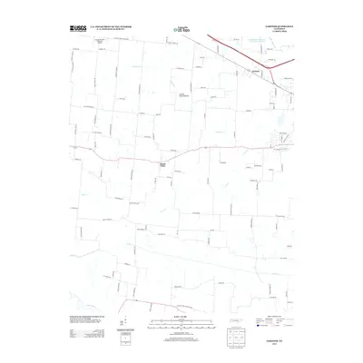
2013 Map of Gardner
USGS Topo · Published 2013About this map
The Obion River and its meandering tributaries define this western Tennessee landscape, where the floodplain of Cypress Creek Bottom stretches across the northern portion of the quadrangle. The settlement of Gardner sits along the northern rail corridor, while Mount Pelia serves as a central crossroads for the rural countryside. The terrain is characterized by a dense network of country roads, many bearing family names that suggest a deep-rooted local history, such as Taylor Moore Rd, Jodie Jacobs Rd, and Wright Rd.
Find a feature on this map
103 named features on this map. Tap any name to fly to it.
Don’t see what you’re looking for? This feature index may not catch every label — zoom into the map to look around manually.
Map Details
Editions of this 2013 Gardner Map
This is the sole edition of this map. No revisions or reprints were ever made.
Other maps of this area

1950 · Martin
USGS Topo · 1:24,000

1950 · Rives
USGS Topo · 1:24,000

1951 · Rives
USGS Topo · 1:24,000

1954 · Rutherford
USGS Topo · 1:24,000

1954 · Greenfield
USGS Topo · 1:24,000

1954 · Union City
USGS Topo · 1:24,000

1956 · Gardner
USGS Topo · 1:24,000

1956 · Harris
USGS Topo · 1:24,000

1956 · Mc Connell
USGS Topo · 1:24,000

1956 · Dyersburg
USGS Topo · 1:250,000