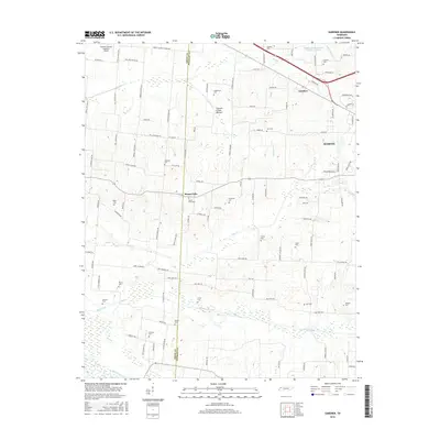
2016 Map of Gardner
USGS Topo · Published 2016About this map
Cypress Creek Bottom dominates the northern reaches of this Weakley County landscape, where the shifting boundary with Obion County cuts through a terrain defined by its intricate drainage systems. The small settlements of Gardner and Mount Pelia anchor the central and eastern portions of the map, while the western edge of Martin begins to emerge. This area is characterized by an exceptionally high density of small family and community burial grounds, such as Shaddtown Cem, McKinney Cem, and Callicott Cem, which provide a detailed genealogical record of the region's early inhabitancy. The Everett-Stewart Regional Airport stands out as a modern infrastructure anchor in the northwest, contrasting with the many creeks like Cane Cr and Mud Cr that continue to shape the rural agricultural layout of the land.
Find a feature on this map
106 named features on this map. Tap any name to fly to it.
Don’t see what you’re looking for? This feature index may not catch every label — zoom into the map to look around manually.
Map Details
Editions of this 2016 Gardner Map
This is the sole edition of this map. No revisions or reprints were ever made.
Other maps of this area

1950 · Martin
USGS Topo · 1:24,000

1950 · Rives
USGS Topo · 1:24,000

1951 · Rives
USGS Topo · 1:24,000

1954 · Rutherford
USGS Topo · 1:24,000

1954 · Greenfield
USGS Topo · 1:24,000

1954 · Union City
USGS Topo · 1:24,000

1956 · Gardner
USGS Topo · 1:24,000

1956 · Harris
USGS Topo · 1:24,000

1956 · Mc Connell
USGS Topo · 1:24,000

1956 · Dyersburg
USGS Topo · 1:250,000