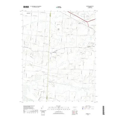
2019 Map of Gardner
USGS Topo · Published 2019About this map
The Obion River and its various tributaries, including Cane Cr and Mud Creek, define the rural landscape of this portion of Weakley and Obion Counties. The settlement of Mount Pelia serves as a central point in a region characterized by family-named cemeteries and a dense network of country roads. These roads often bear the names of local families and landmarks, such as Stanley Chapel Church Rd and N Red McCorkle Rd, reflecting a long history of land ownership and community ties. To the northeast, the settlement of Gardner sits near the headwaters of Little Cypress Cr. The presence of numerous burial grounds, including the Shaddtown Cem, Hurt Cem, and McKinney Cem, provides a significant resource for genealogical research. The northern boundary is marked by the Everett-Stewart Regional Airport, while the south features the expansive Cypress Creek Bottom.
Find a feature on this map
109 named features on this map. Tap any name to fly to it.
Don’t see what you’re looking for? This feature index may not catch every label — zoom into the map to look around manually.
Map Details
Editions of this 2019 Gardner Map
This is the sole edition of this map. No revisions or reprints were ever made.
Other maps of this area
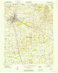
1950 · Martin
USGS Topo · 1:24,000
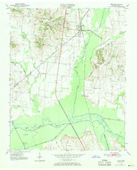
1950 · Rives
USGS Topo · 1:24,000
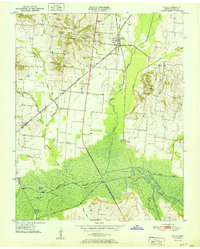
1951 · Rives
USGS Topo · 1:24,000
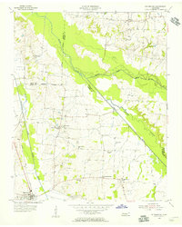
1954 · Rutherford
USGS Topo · 1:24,000
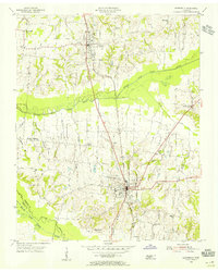
1954 · Greenfield
USGS Topo · 1:24,000
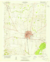
1954 · Union City
USGS Topo · 1:24,000
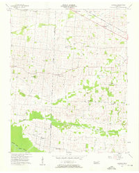
1956 · Gardner
USGS Topo · 1:24,000
1956 · Harris
USGS Topo · 1:24,000
1956 · Mc Connell
USGS Topo · 1:24,000
1956 · Dyersburg
USGS Topo · 1:250,000