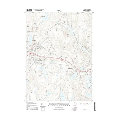
2015 Map of Gardner
USGS Topo · Published 2015About this map
The industrial and residential core of Gardner dominates the western portion of this Worcester County landscape, while the village of Westminster and its surrounding hill country define the eastern reach. The region is characterized by a high density of water bodies and reservoirs, including the expansive Mare Meadow Reservoir and Wrights Reservoir, which once powered the manufacturing base of the "Chair City." Academic landmarks such as Mt Wachusett Community College and community hubs like Olde English Village and Bakers Grove reflect the modern development of the area.
Find a feature on this map
189 named features on this map. Tap any name to fly to it.
Don’t see what you’re looking for? This feature index may not catch every label — zoom into the map to look around manually.
Map Details
Editions of this 2015 Gardner Map
This is the sole edition of this map. No revisions or reprints were ever made.
Other maps of this area

1885 · Worcester
USGS Topo · 1:62,500

1886 · Worcester
USGS Topo · 1:62,500

1887 · Winchendon
USGS Topo · 1:62,500

1887 · Barre
USGS Topo · 1:62,500

1887 · Fitchburg
USGS Topo · 1:62,500

1889 · Fitchburg
USGS Topo · 1:62,500

1889 · Barre
USGS Topo · 1:62,500

1890 · Winchendon
USGS Topo · 1:62,500

1892 · Worcester
USGS Topo · 1:62,500

1893 · Fitchburg
USGS Topo · 1:62,500