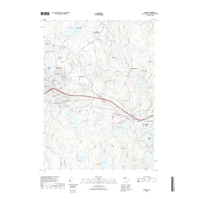
2018 Map of Gardner
USGS Topo · Published 2018About this map
Gardner and the surrounding Worcester County highlands are defined by a complex network of reservoirs and hills in this 2018 survey. The landscape transitions from the urbanized centers of South Gardner and East Gardner to the more rural, water-rich terrain of the east. This area features a high concentration of recreational and municipal water bodies, including the Mare Meadow Reservoir, Wrights Reservoir, and the Whitman River, illustrating the region's managed hydrography. Locally significant institutions like Mt Wachusett Community College stand near historic burial grounds such as Crystal Lake Cem. The map provides detailed topographic data for several prominent summits, including Baldwin Hill and Beech Hill, alongside smaller residential pockets like Leino Park and Manty Ranta, which reflect the local character of these Massachusetts mill towns and hill communities.
Find a feature on this map
184 named features on this map. Tap any name to fly to it.
Don’t see what you’re looking for? This feature index may not catch every label — zoom into the map to look around manually.
Map Details
Editions of this 2018 Gardner Map
This is the sole edition of this map. No revisions or reprints were ever made.
Other maps of this area

1885 · Worcester
USGS Topo · 1:62,500

1886 · Worcester
USGS Topo · 1:62,500

1887 · Winchendon
USGS Topo · 1:62,500

1887 · Barre
USGS Topo · 1:62,500

1887 · Fitchburg
USGS Topo · 1:62,500

1889 · Fitchburg
USGS Topo · 1:62,500

1889 · Barre
USGS Topo · 1:62,500

1890 · Winchendon
USGS Topo · 1:62,500

1892 · Worcester
USGS Topo · 1:62,500

1893 · Fitchburg
USGS Topo · 1:62,500